Trail Maps
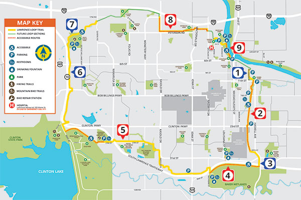
Lawrence Loop Trail - All Routes
This is the latest Lawrence Loop map. The map shows all segments with descriptions of the route, length, parking and restroom information.
View the map
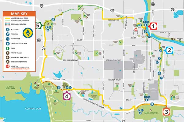
Lawrence Loop Accessible Routes
This map highlights sections with more modest slopes that may be best suited to those using a wheelchair or other assistive device and trail users who generally wish to avoid more challenging or hilly terrain.
View Map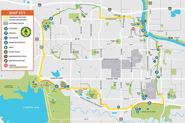
Lawrence Loop Trail
The Lawrence Loop map. It shows the current trail without designations.
View Map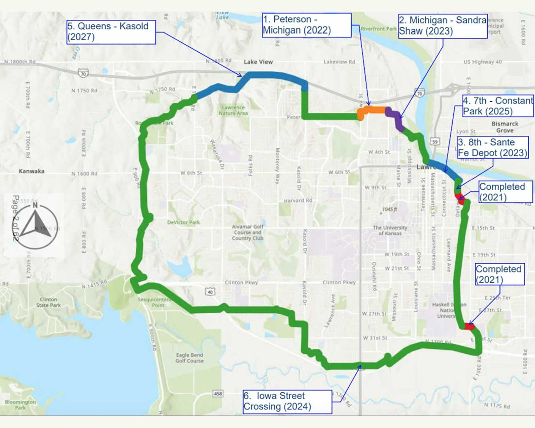
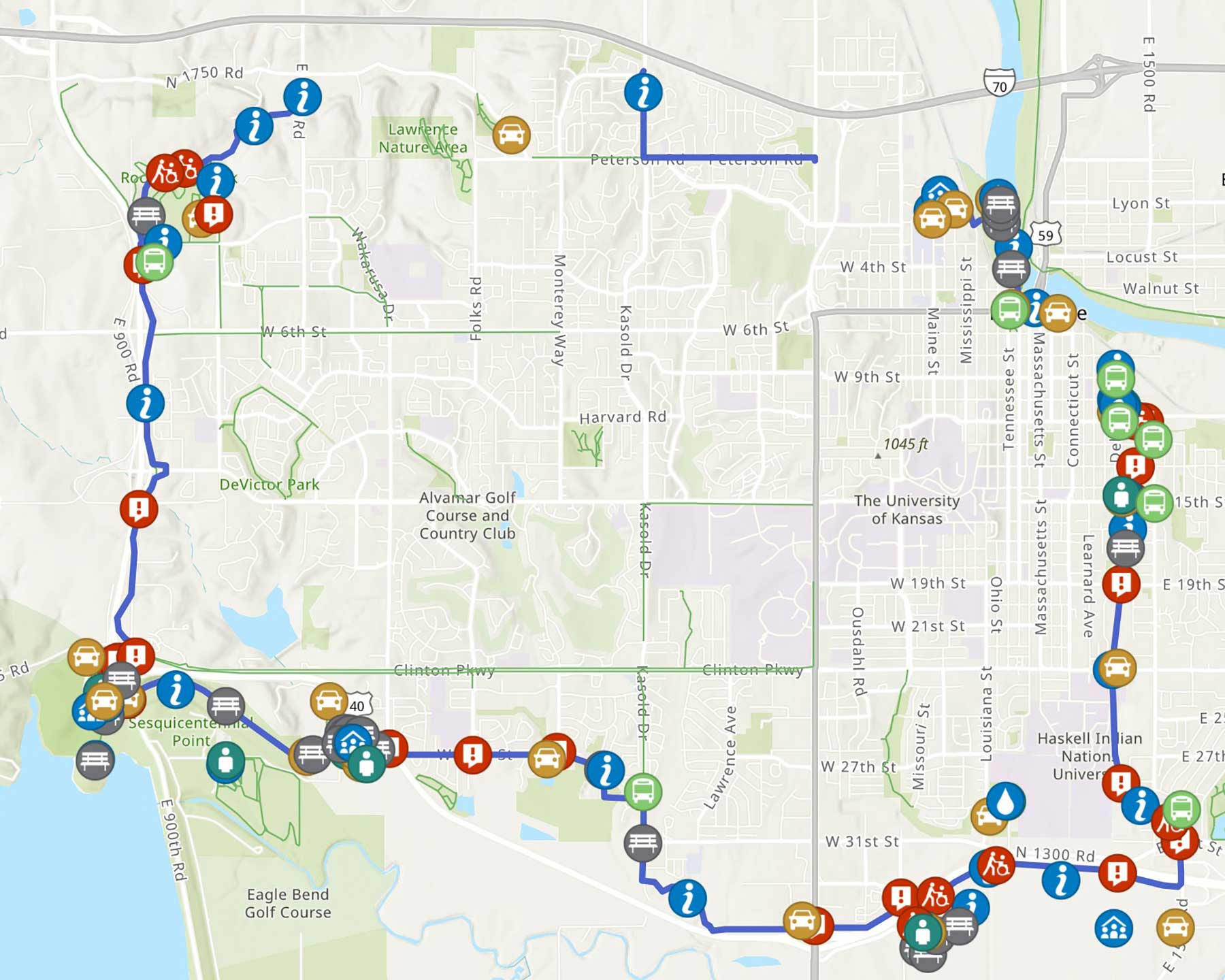
Lawrence Loop Interactive Map
This interactive City of Lawrence Map provides information about the Lawrence Loop, the 18miles of shared-use path circling Lawrence, Kansas.
View Map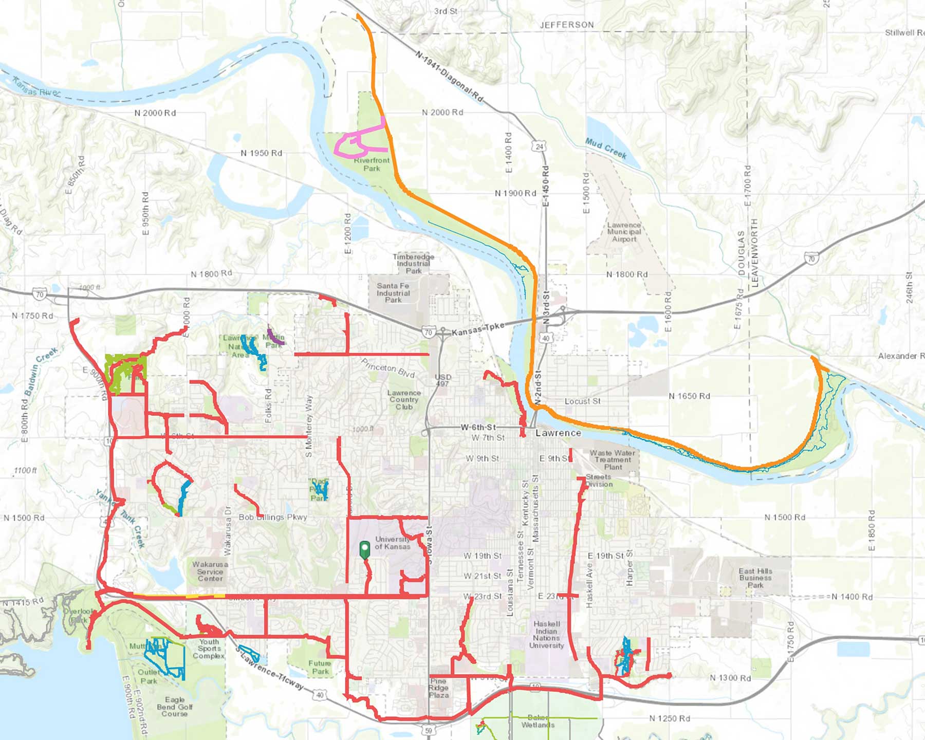
Lawrence Trail Interactive Map
This interactive City of Lawrence Map shows all trail in and around Lawrence, Kansas
View Map