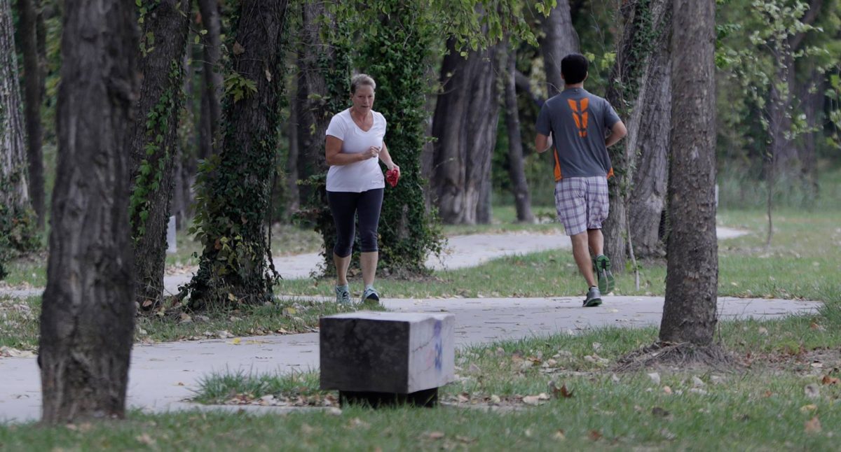
Wayfinding signs coming to the Lawrence Loop
December 11, 2017
The Douglas County Community Foundation recently made a $9,700 LiveWell
Community Wellness grant to Lawrence Parks and Recreation to place wayfinding signs along the completed sections of the Lawrence Loop. The signs will help people get around the existing trail system and between existing
trails that are not yet fully connected.
Locations for signs have not been finalized but may include:
- the connection between Outside for a Better Inside and Burcham Park Trails
- the connection at 23rd St between Burroughs Creek Trail and the Haskell
Rail Trail - the link between the Haskell Rail Trail and the shared use path on Haskell
Avenue at 29th Street - the Michigan Street crossing near the Baker Wetlands
- the Iowa Street crossing just north of Highway K-10
- just north of the curve where Kasold Drive becomes 31st Street
- the trail crossing where Crossgate Drive meets 27th Street
- the trail crossing of Highway K-10 near the Youth Sports Complex
- the trail where it turns north near the Clinton Lake Dam
- the trail where it crosses Clinton Parkway west of K-10
- the trail where it turns north from Clinton Parkway just east of K-10
- where the K-10 bike trail meets with the newly-constructed Baldwin Creek
Trail near Rock Chalk Park
Work is already underway to place mile marker signs along the Loop. Lawrence Parks and Recreation also plans to place informational signs about the Loop at several locations.

