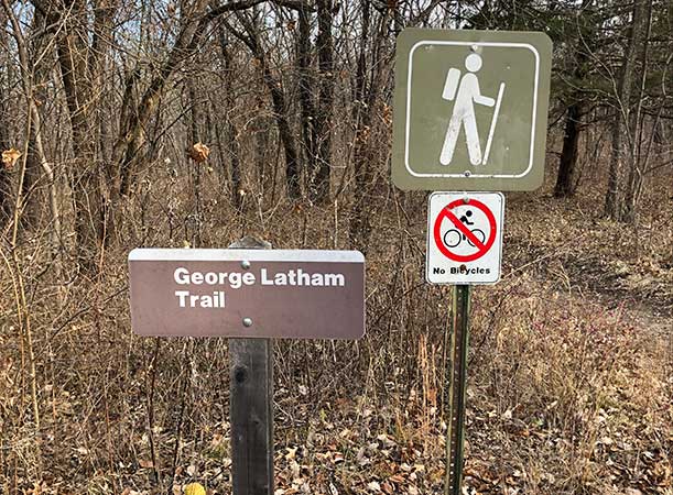
Get Out There: George Latham Hiking Trail
Overview
The George Latham trail is a 4.2 loop trail on the west side of Clinton Lake. The trail provides great views of the lake and a chance to view Bald Eagles during certain times of the year. The wide variety of terrain (flat sections, hilly and rocky sections, forested areas, open fields) makes this a very popular trail – you will most likely be sharing this trail with several other people. The trail can be slick in the rocky sections if there is rain or snow on the ground, it can also get muddy in certain parts. There are about 15 primitive campsites along the trail, which makes it a great location for a short backpack excursion.
General Information
Length: 4.2 mile loop – about 1.25 – 2 hours
Difficulty: Easy to Moderate
Season: Fall and Winter are the best, undergrowth, insects, and snakes could be problematic in Spring and Summer
Gear Needed: Standard hiking gear. Trekking poles would be helpful in sections. Binoculars would be helpful for spotting bald eagles.
Facilities: There are pit toilets, water, and campsites at the trailhead. Water may be closed off in the winter months.
Trailhead
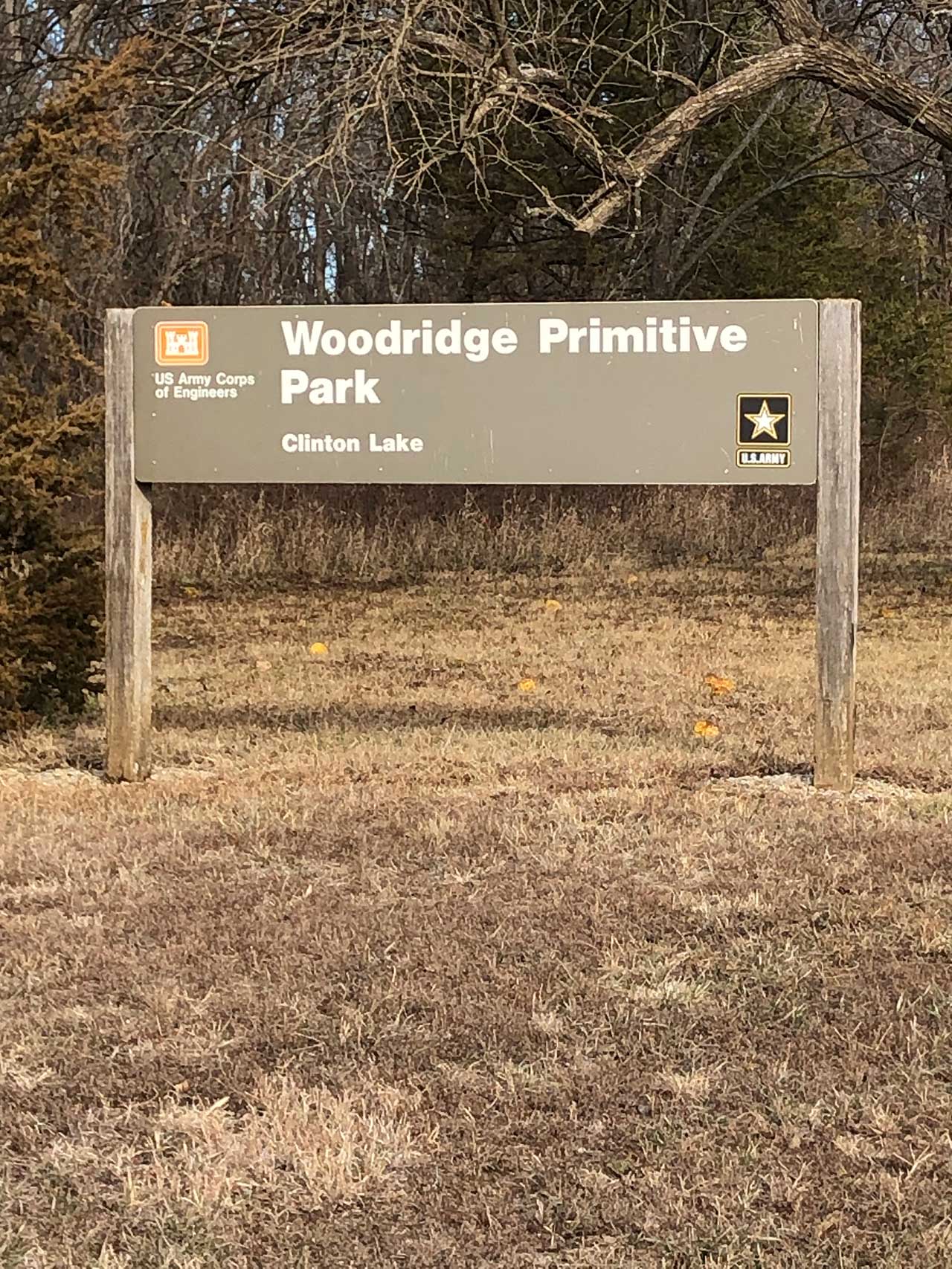
The trail is located in the Woodridge Primitive Park at Clinton Lake.
Directions
From 6th street, head west past K-10, then turn left on 442/Stull Road (there will be signs for Clinton Lake). In the town of Stull, turn left on 1023/250 Road (there is also a sign here). Travel on this road for about 3.5 miles where you will see a sign for Woodridge Park, then turn left on 1250 rd. Then take a left where you see a sign for camping and hiking. The trip is about 20 minutes from 6th street and K-10.
From 23rd street/Clinton Parkway head west and cross the Clinton Lake dam. Turn right at the bottom of the dam and follow the main road around the lake until you see the sign for Woodridge, then follow the directions above. It is about 27 minutes from Clinton Parkway and Wakarusa.
Route
The trail is a loop trail with two access points, one at the south end of the parking lot and one at the north end by the toilets. I usually prefer to use the south access point and hike the trail in a counterclockwise direction.
Going counterclockwise, you will head east, mostly downhill through a wooded and rocky section until you reach the lake. You will turn northeast along the lake shore. There will be several places where you could walk down to the water’s edge.
The trail will then turn northwest and open into a field around the second mile marker.
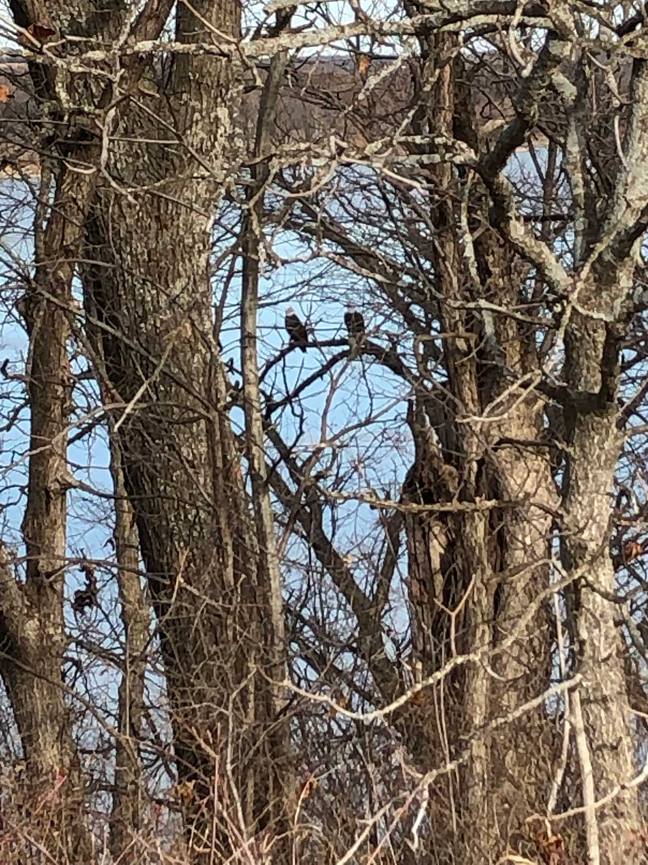
From this mile marker, there are good opportunities for the next half mile or so to spot bald eagles in the trees by the lake, particularly in the winter months.
Between miles two and three there will be some rocky sections to walk through. A little before the third mile market the trail will turn south, and you will leave the lake and start heading uphill back towards the trailhead.
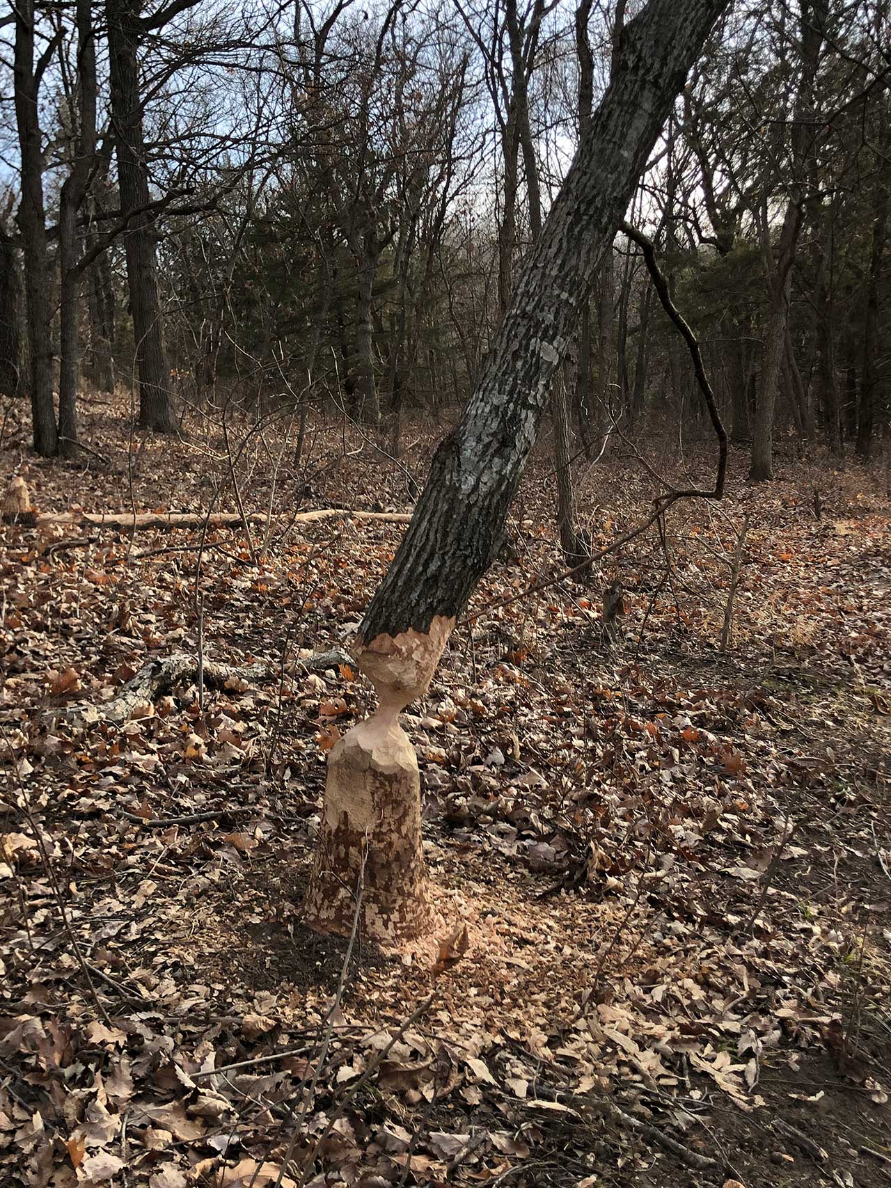
Once you start heading south look for signs of beaver activity on the trees around the trail, there are many trees that have been chewed on in this area.
There are a couple of good uphill sections between miles three and four. Once you hit the fourth mile market you are on the home stretch with just a short jaunt remaining to get to the parking lot.
The trail is very well marked with either blue and silver badges attached to trees or by blue paint on the trees, as well as with mile markers.

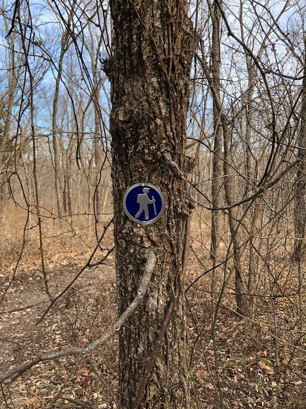
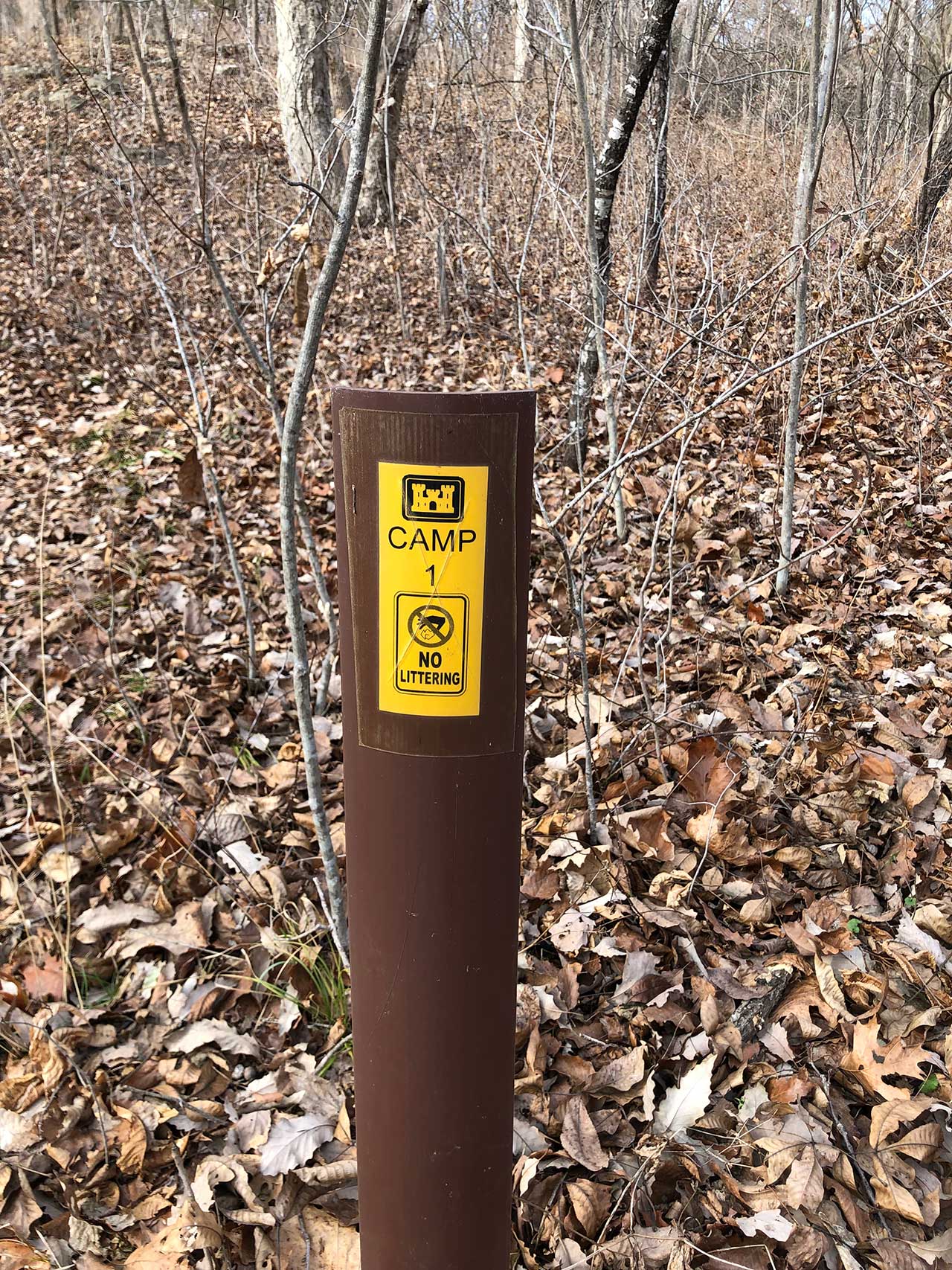
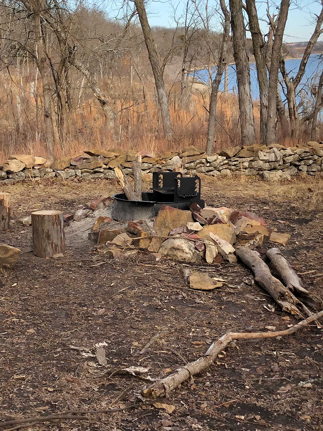
There are several offshoots of the trail that head to the primitive camp sites, but these are also well marked.
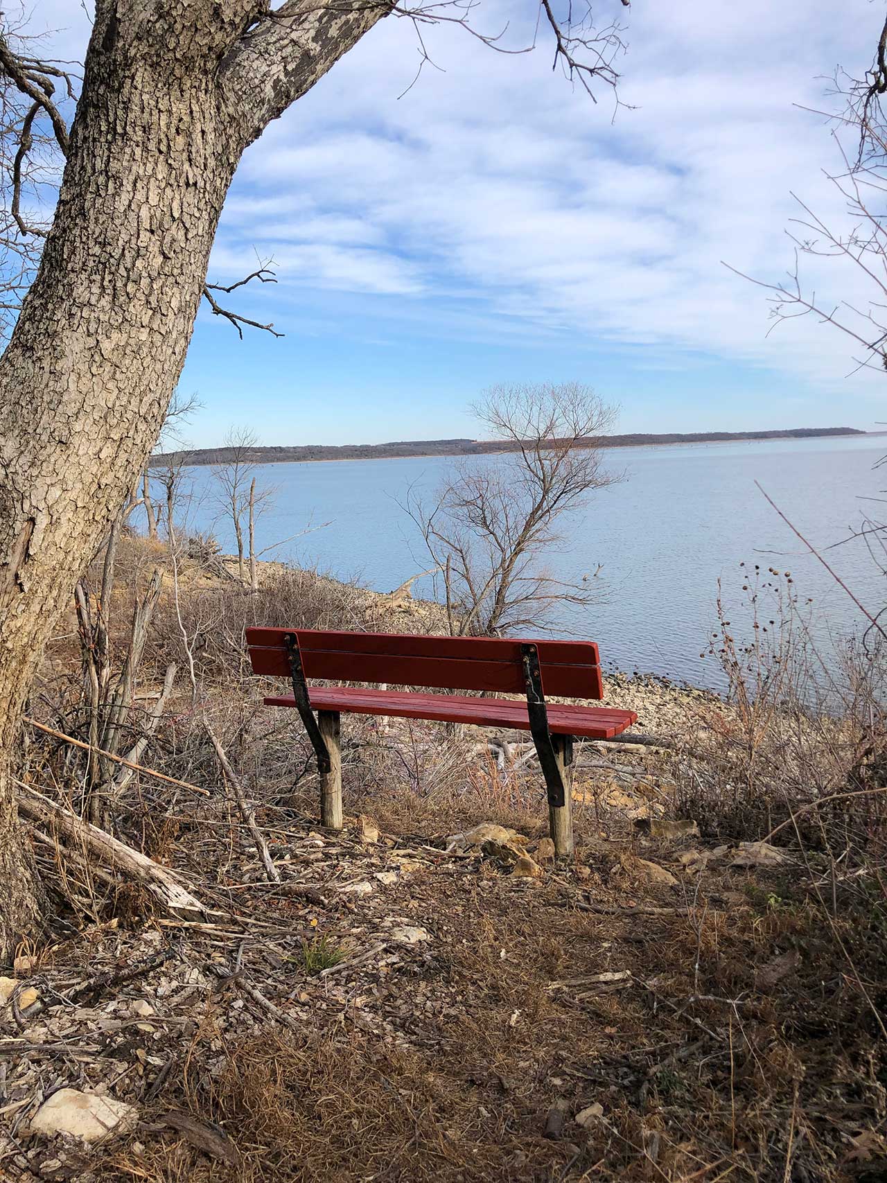
The trail also provides a couple of benches where you can sit and enjoy a view of the lake. There is a picnic table located by the second mile marker.
Resources
Woodridge Primitive Park
https://www.onlyinyourstate.com/kansas/woodridge-primitive-park-ks/
George Latham Trail
https://www.alltrails.com/trail/us/kansas/george-lathan-hiking-trail
https://getoutdoorskansas.org/trails/george-latham-hiking-trail
