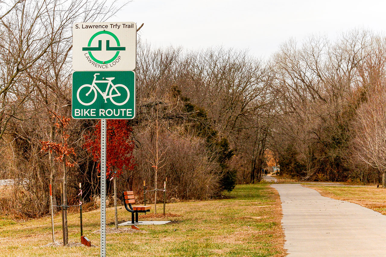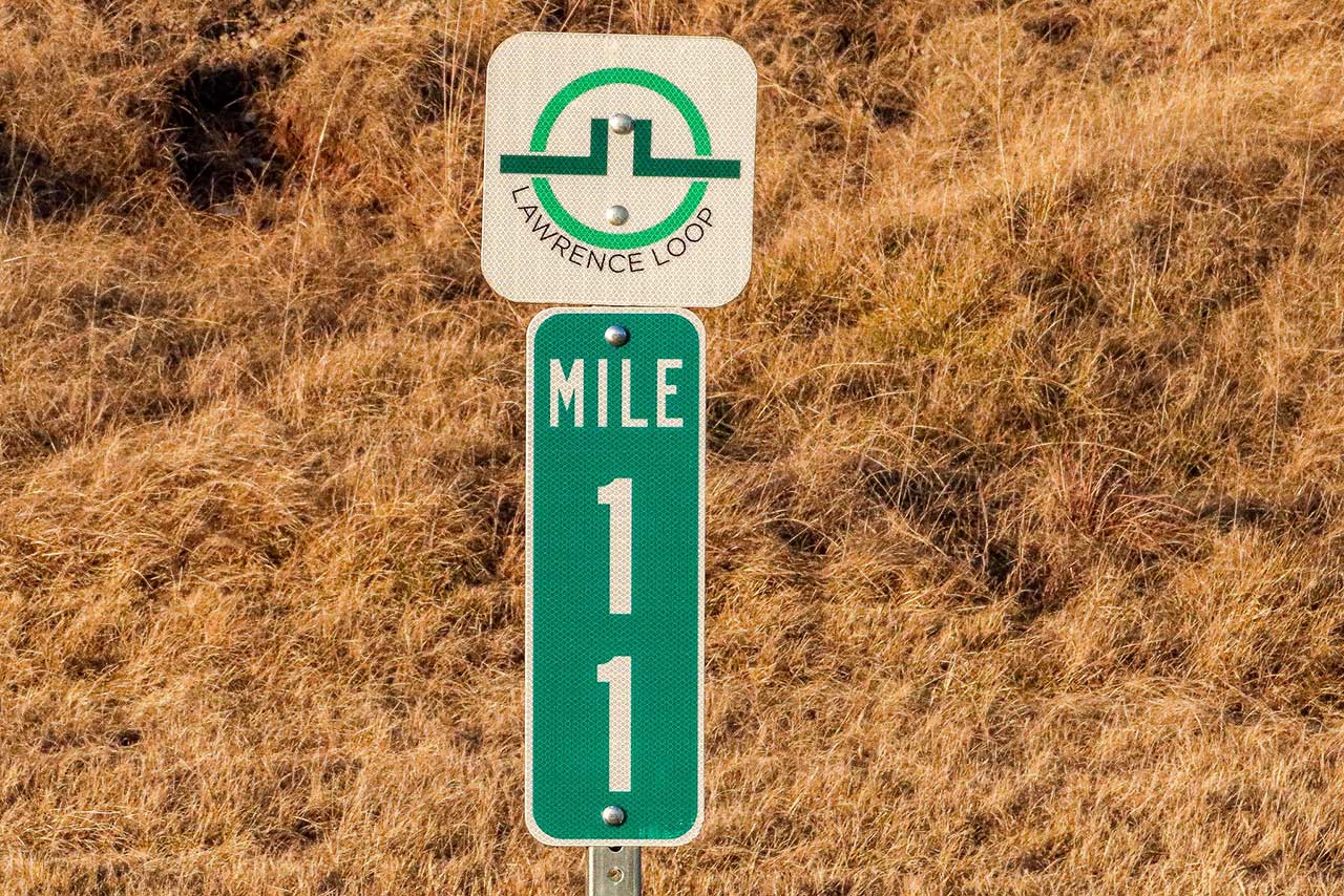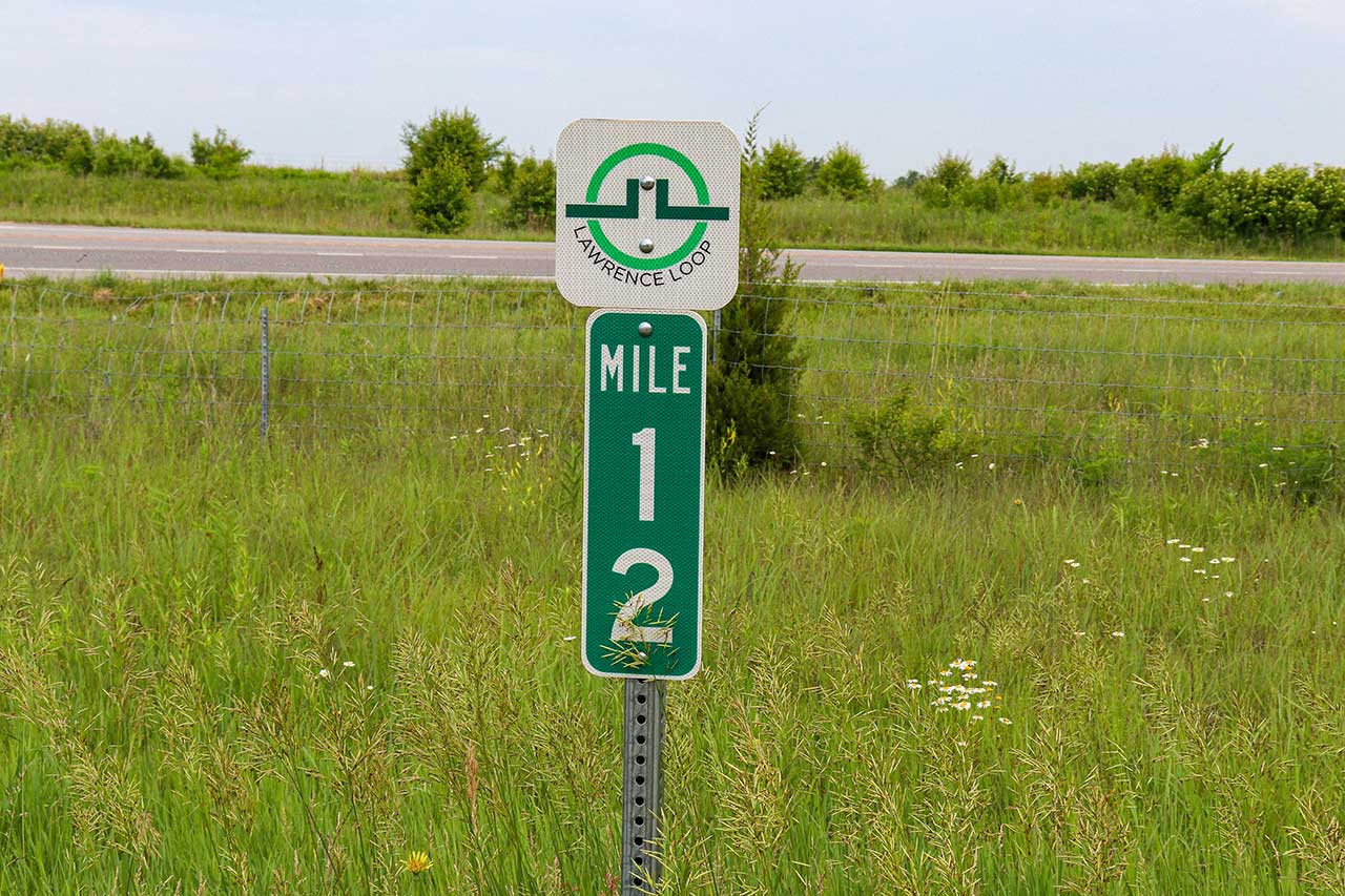
Get Out There: Lawrence Loop: Segment 6
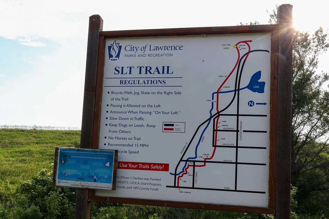
South Lawrence Trafficway (Arboretum to Rock Chalk Park)
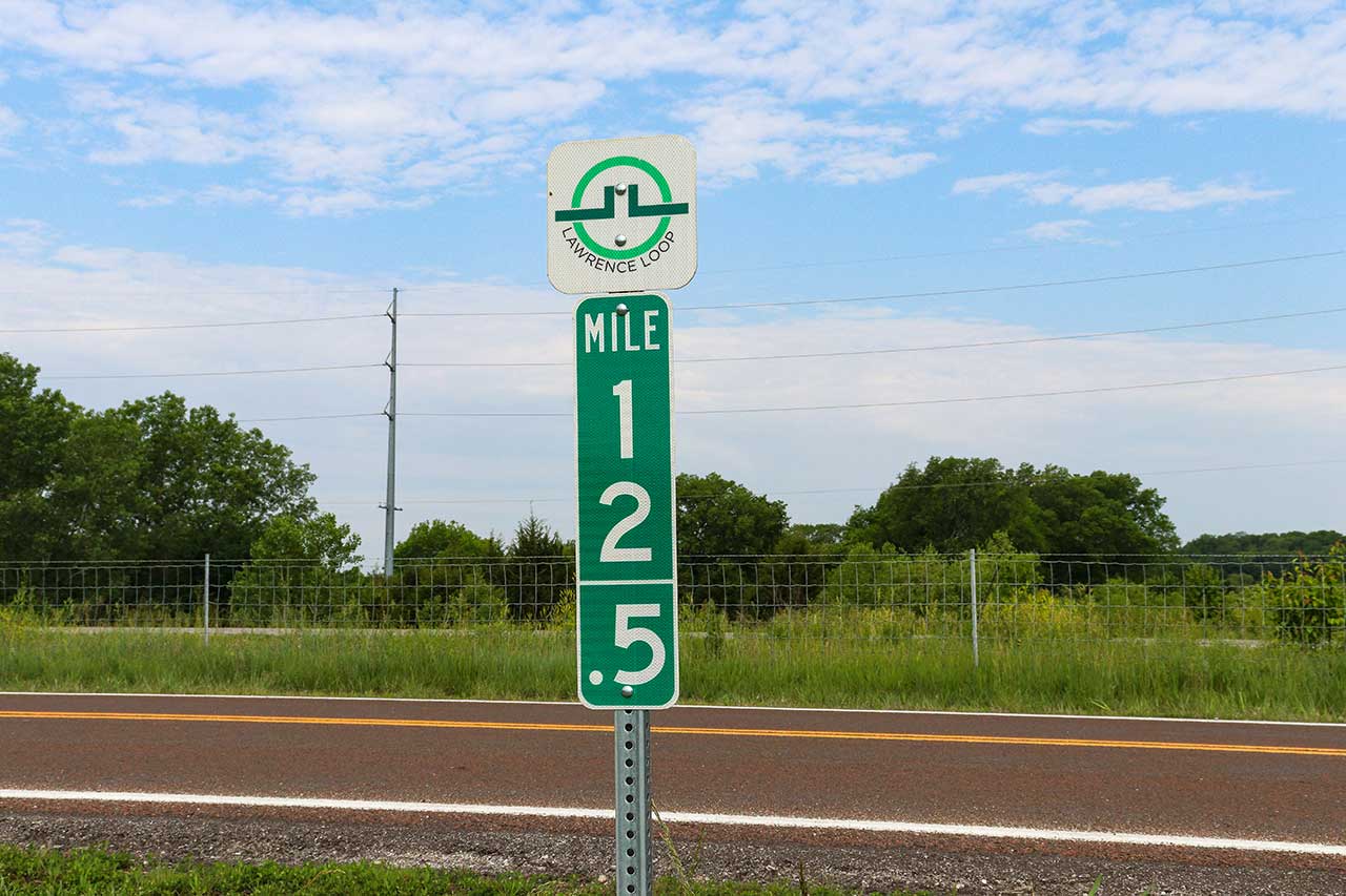
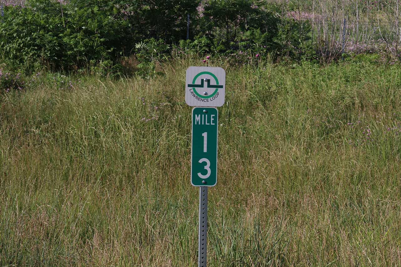
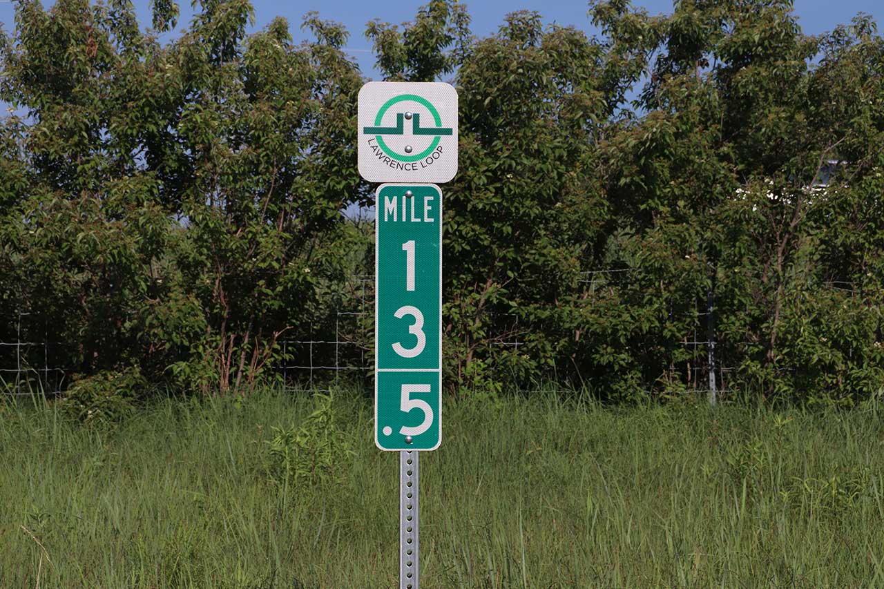
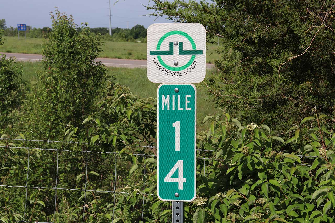
Length: 4.5 miles
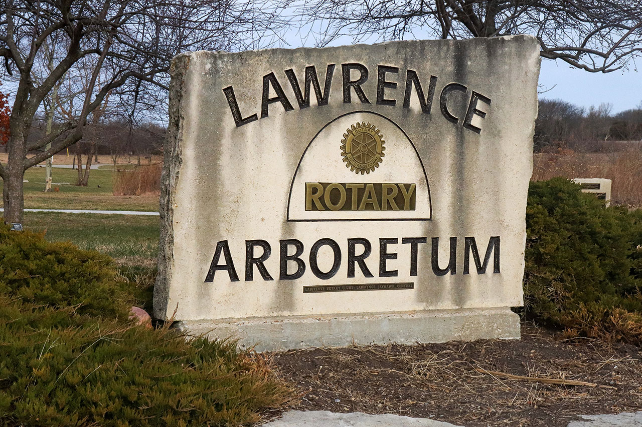
Parking: Lawrence Arboretum, Rock Chalk Park
Restrooms: Lawrence Arboretum (seasonal), Sports Pavilion at Rock Chalk Park
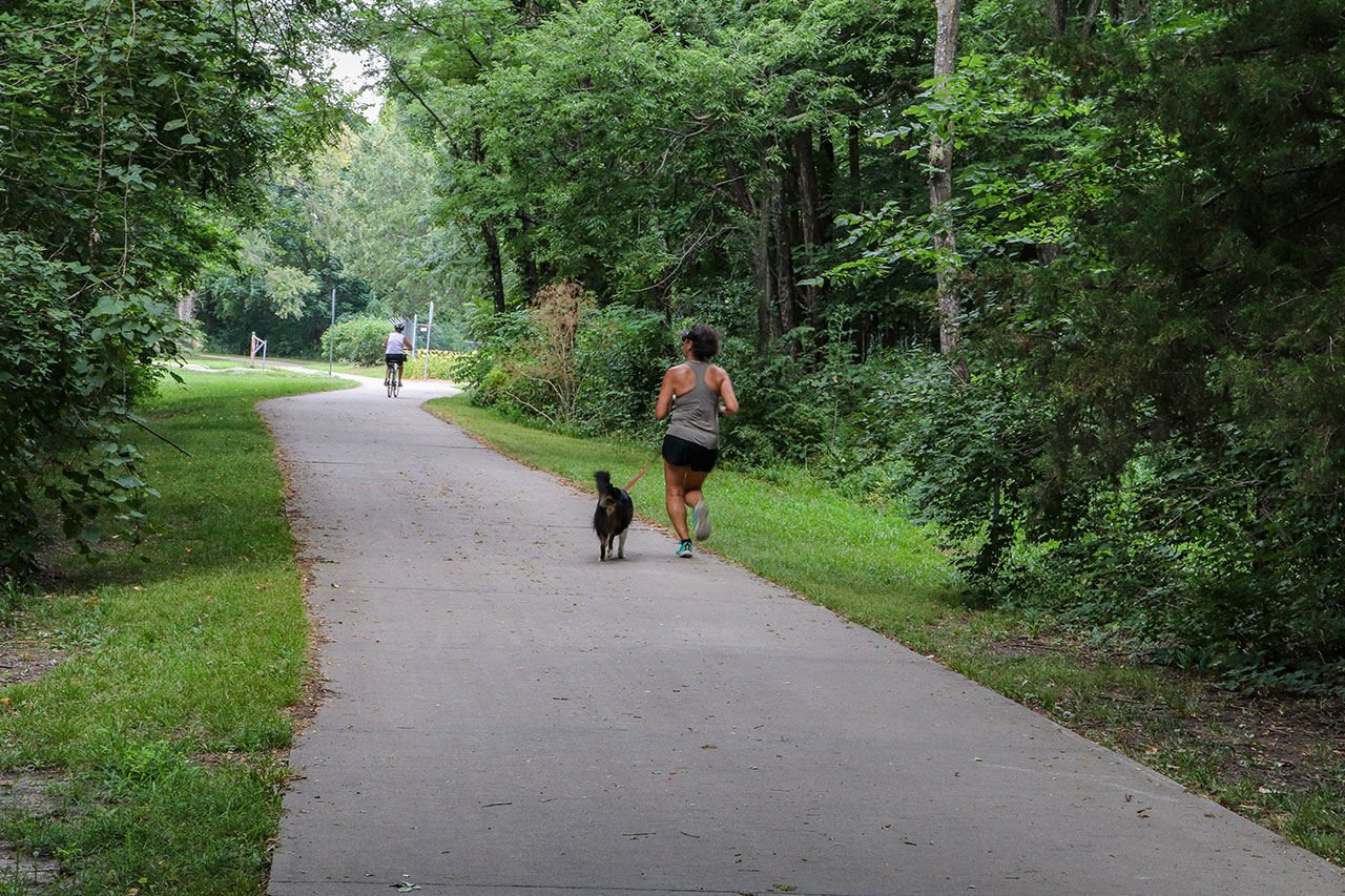
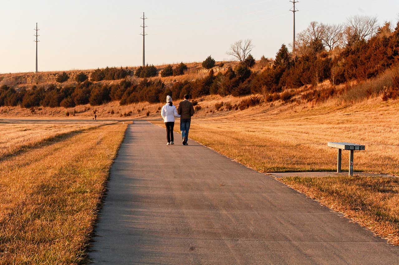
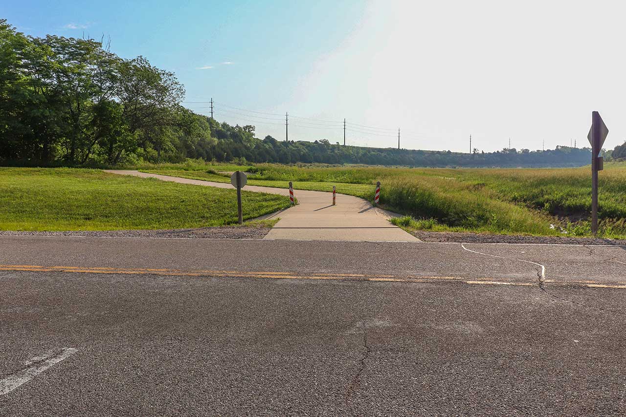
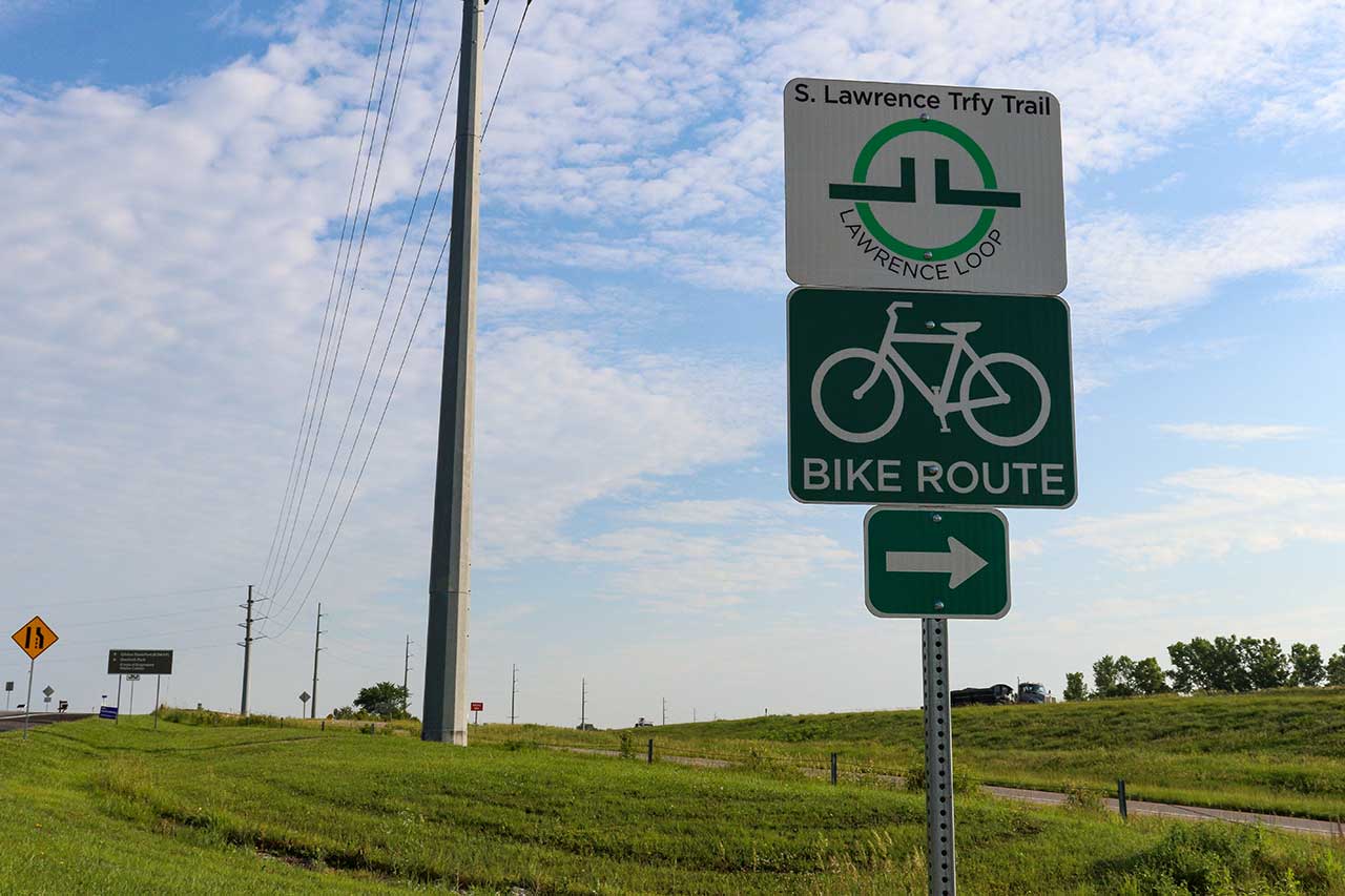
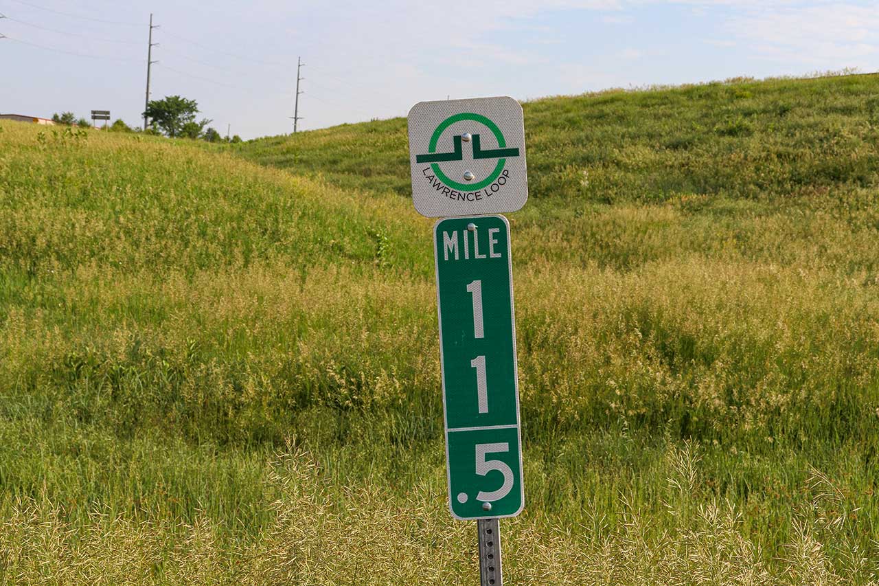
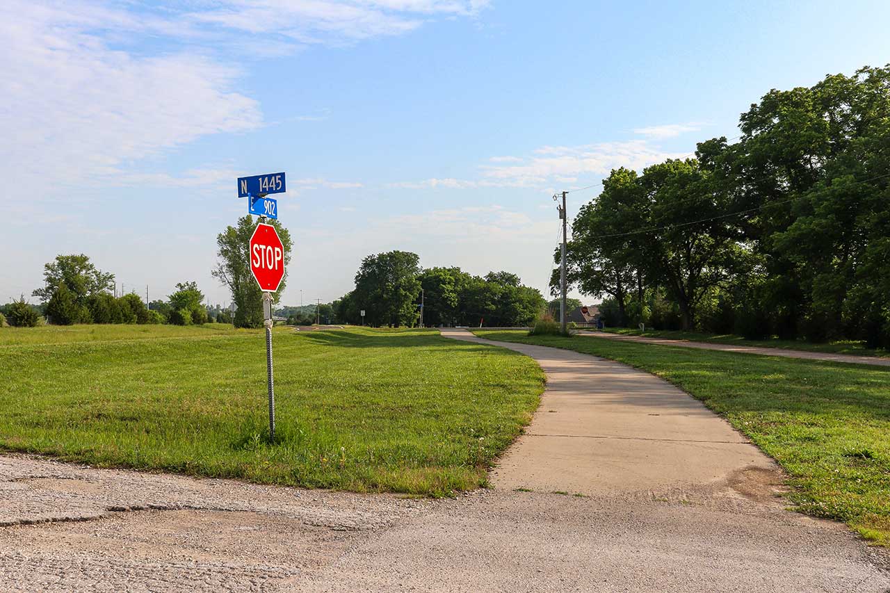
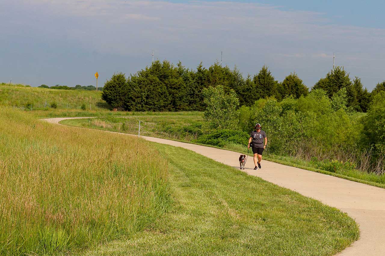
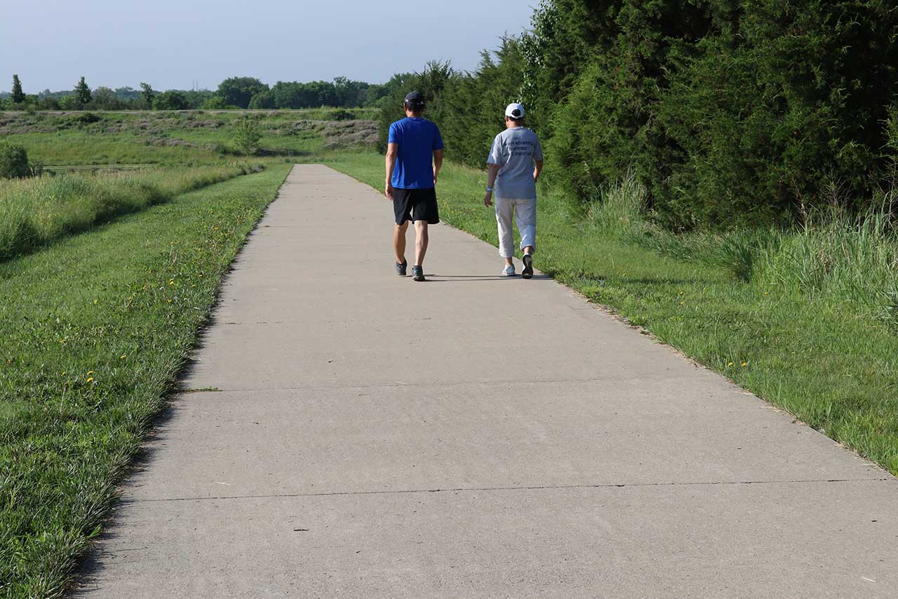
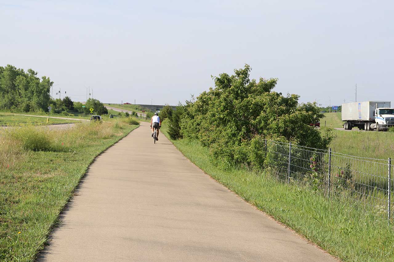
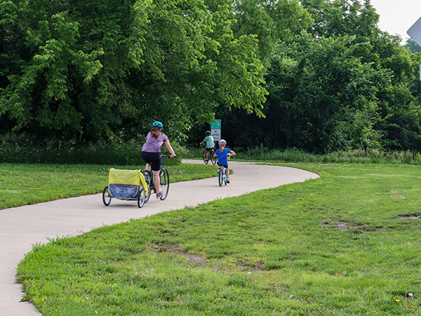
The South Lawrence Trafficway (Arboretum to Rock Chalk Park) is a part of the Lawrence Loop. This segment of the Loop goes from the Arboretum to Rock Chalk Park. This section of the loop goes west through a meadow near the Sesquicentennial Park and the Mutt Run. There are bluffs to the north of the trail. After 1.5 miles the trail branches at the crosswalk at E 900th Rd. near Clinton Lake. Trail users have two choices. They can go north on the Loop or cross the road to reach Sanders Mound. Sanders Mound offers a view of Clinton Lake.
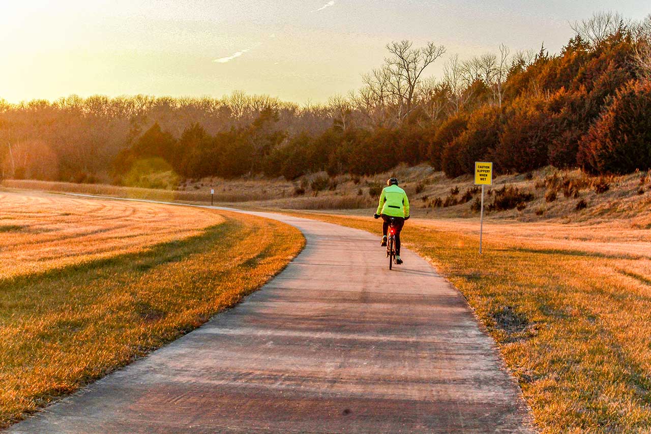
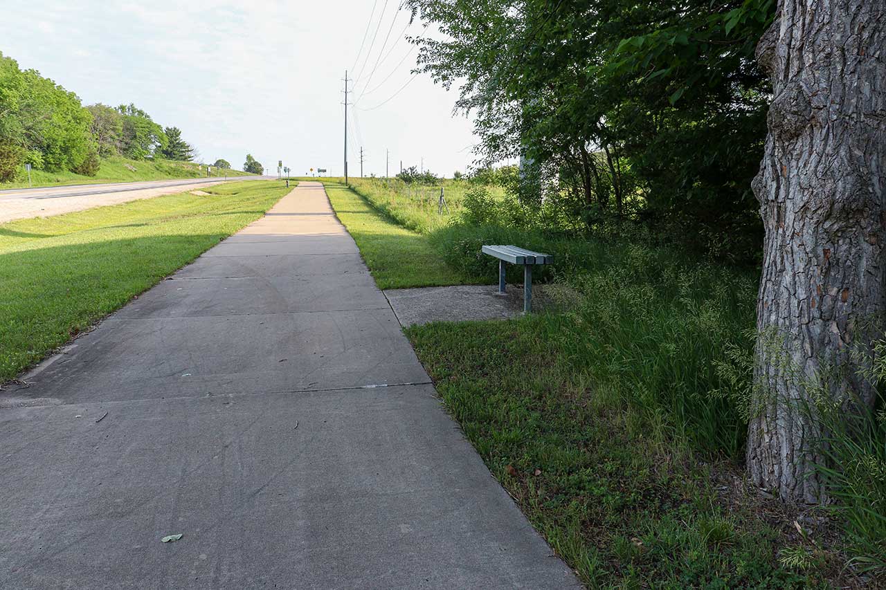
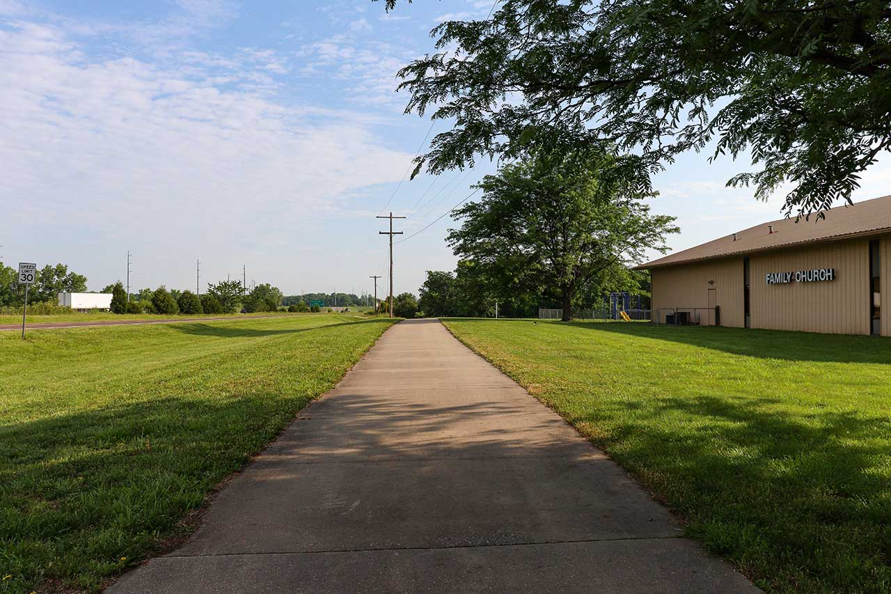
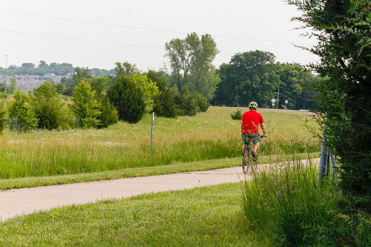
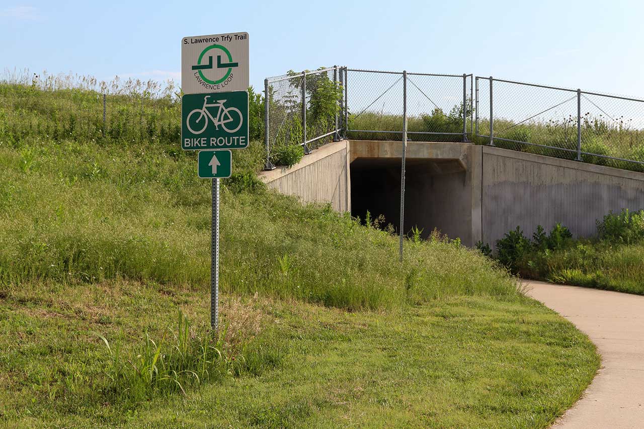
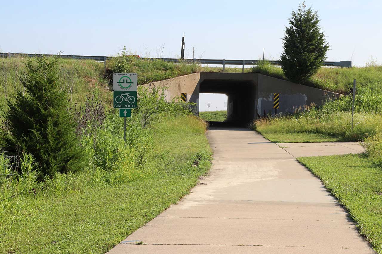
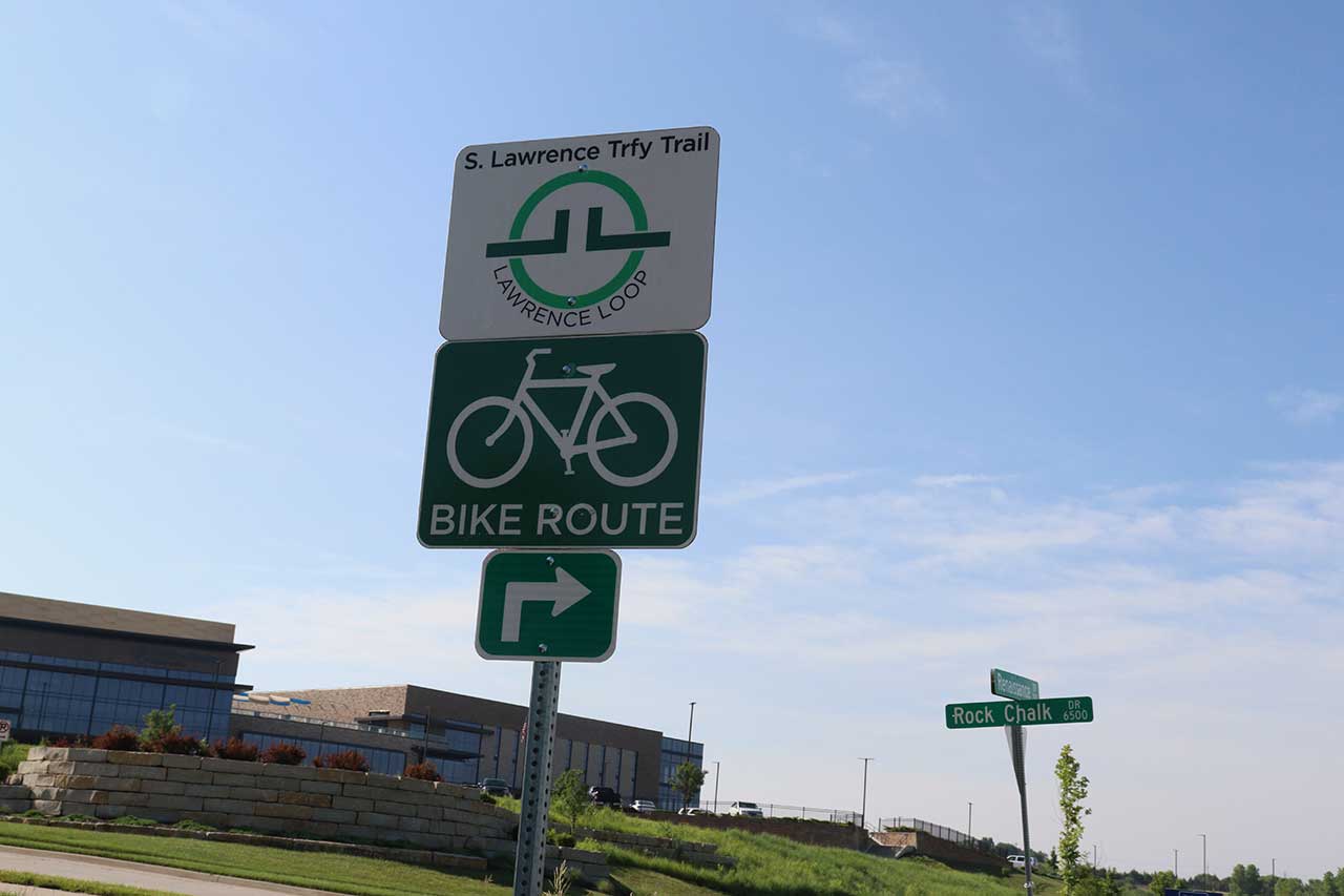
If following the Loop northward the trail goes up a hill to Clinton Parkway at the K-10 overpass. After passing under the underpass the trail crosses Clinton Parkway. The crossing can be a dangerous, so take care. The trail goes east for a bit, then turns north along the K-10 highway. The Loop has rolling hills and passes through tunnels at Bob Billings Parkway and 6th Street. The trail goes past the LMH West Campus and continues to Rock Chalk Park.