Get Out There: Clinton South Shore Trails
General Information
Length: Approximately 30 miles of trails, with plenty of out-and-back or loop options.
Difficulty: Easy to Moderate
Season: Late Fall and Winter
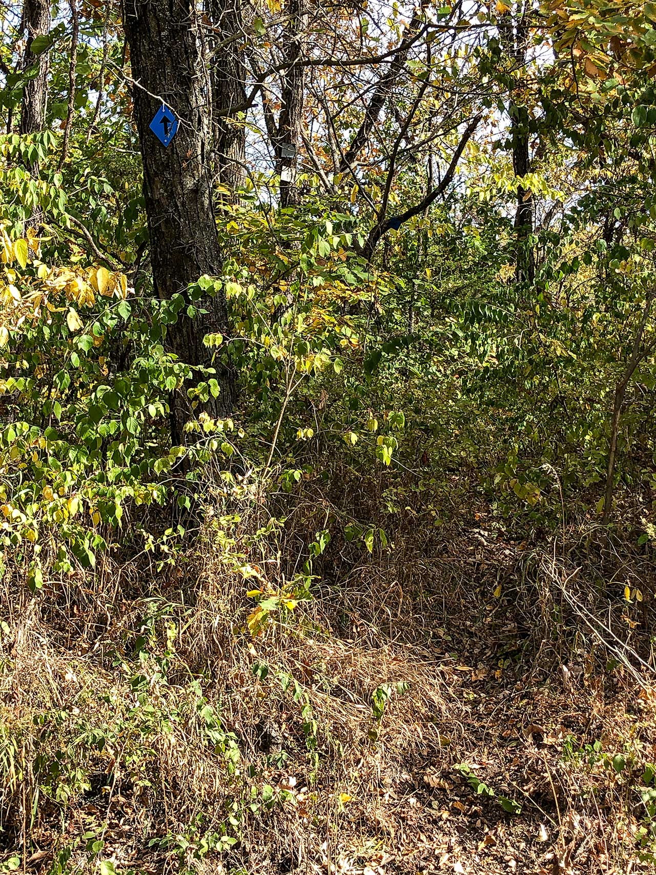
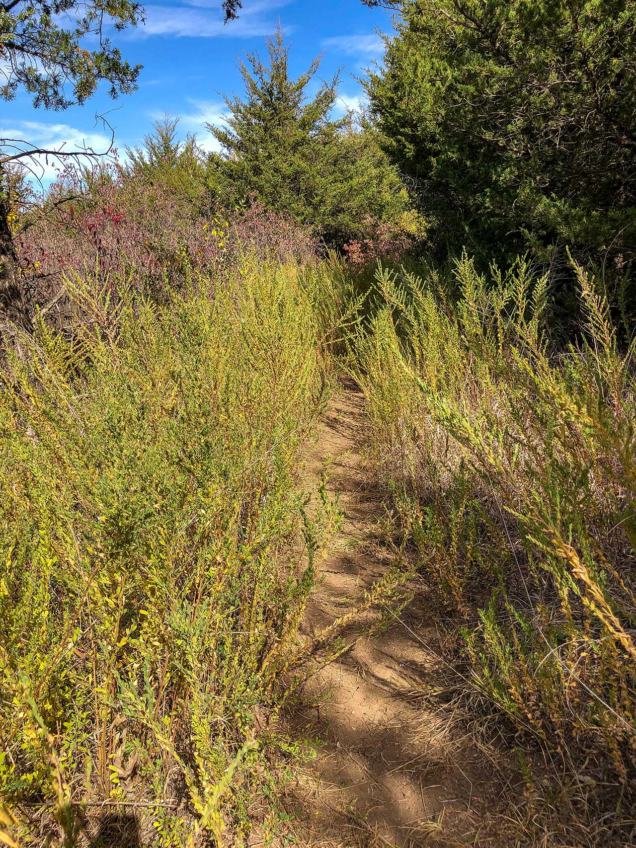
Gear Needed: Standard hiking gear. Many sections of this trail are not heavily used and can be a bit overgrown, so long sleeves and pants are recommended.
Facilities: Pit toilets are located in the day use parking area of Rockhaven campground, water and flush toilets can be found in the camping area. Water may be shut off in the winter months.
Overview
Clinton Lake’s lesser-known cousin to the north shore Trails, the south shore trails provide miles of trail options with little to no traffic. The trails run from the dam, through Rockhaven park, and all the way to the Rock Creek boat ramp. Sections of the trail see little traffic, so while you will have plenty of peace and quiet, the trail may be overgrown in spots making fall and winter the best times of the year to visit. This is a popular trail for horseback riding, so the trail can be chewed up in spots. If you want to take an extended hike without seeing a lot of people, this is a great option. Mountain biking is not allowed, and pets must be on a leash.
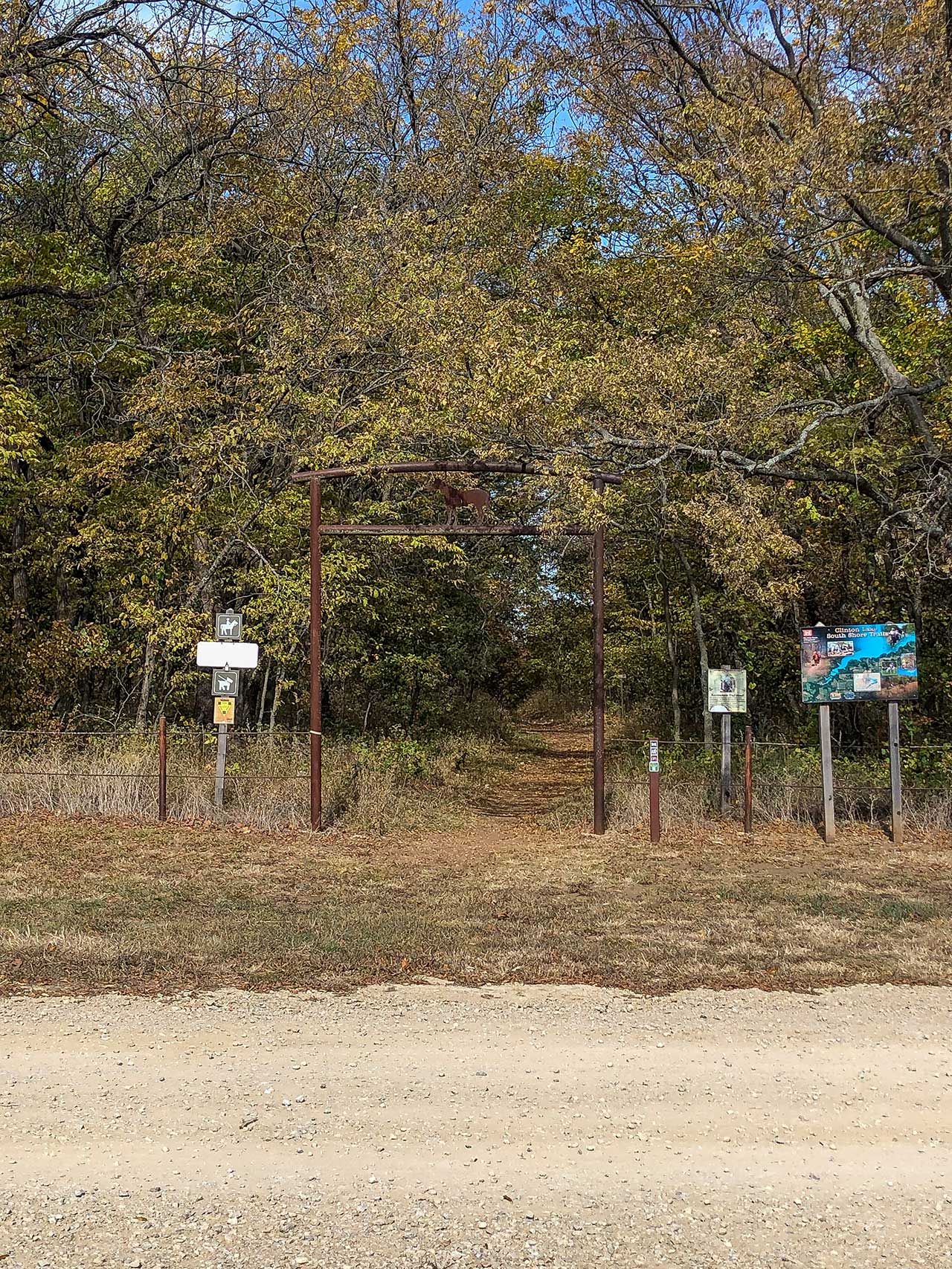
Trailhead
The trails can be accessed from three different spots:
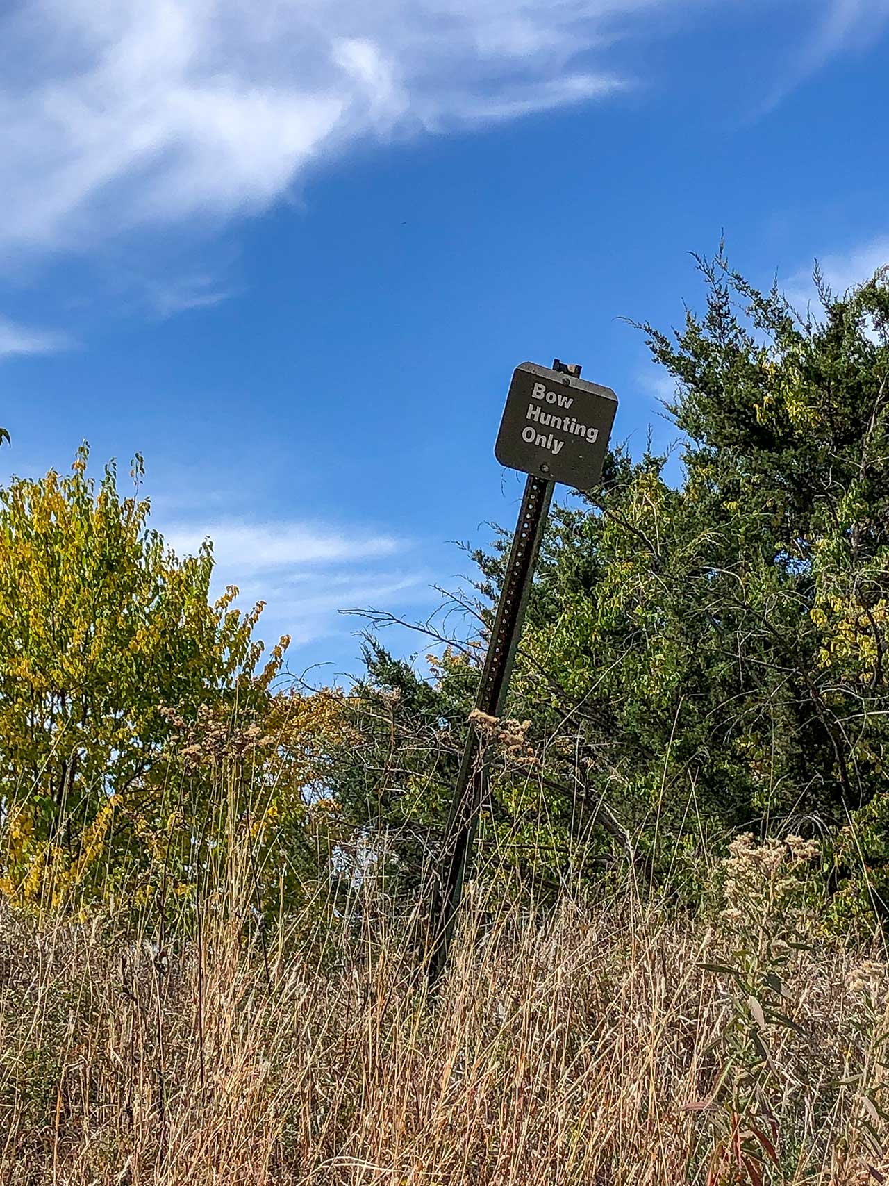
- South side of Clinton Lake dam – as you drive south across the dam from K-10, park in the first gravel pull out on your right after you get across the dam (just past the no parking signs). You will see a “Bow Hunting Only” sign and the blue and yellow (discussed in the route section) trails can be picked up right by the sign. This is the eastern terminus of the trails.
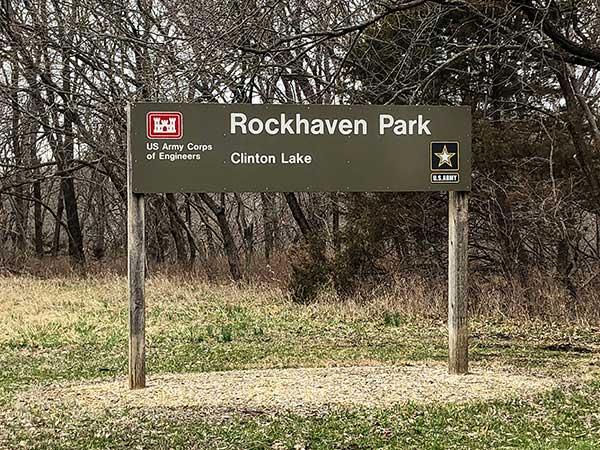
- Rockhaven park – this is the main trailhead and puts you at about the mid-point. Park in the day use parking area and walk through to the back of the camping area by the playground, and you will see the trailhead signs.
- Rock Creek boat ramp – As you turn on the road to the boat ramp, look to your right for a trail with a blue trail badge on a tree. This is less than 0.1 miles from turning. There should be room to park just off the road. This will give you access to the blue and yellow trails. This is the western terminus of the trails. Maps show the trails continuing west of the Rock Creek Road, but these seem to be rarely used and are difficult to find.
Route
There are three sets of trails that run parallel to each other.
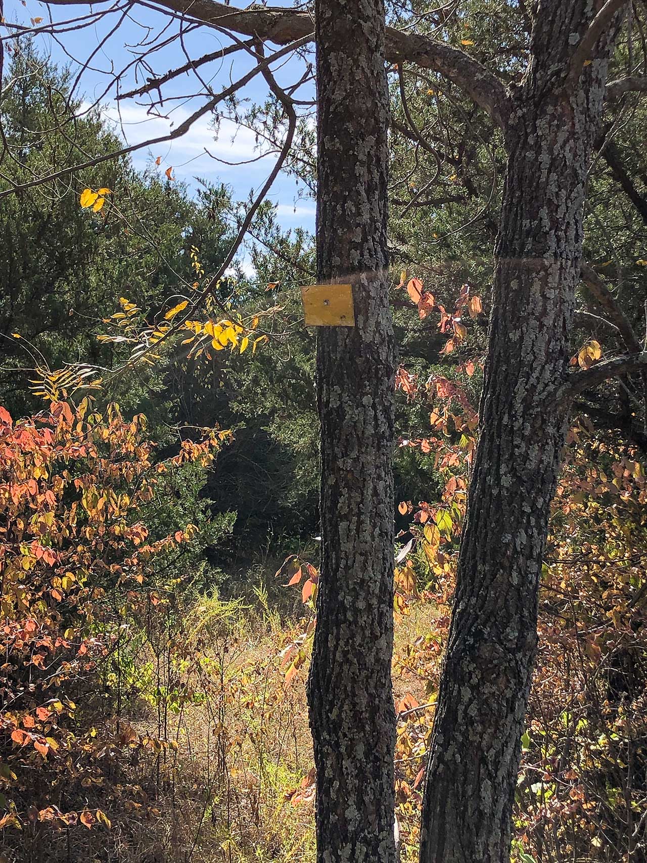
- Orange, or Rockbottom trail. This trail is the closest to the lake.
- Blue, or Rim Rock trail. This trail is the farthest from the lake.
- Yellow, or Benjamin trail. This trail is between the orange and blue trails.
There are also white “connector” trails at various points that allow you to move from one set of trails to the other. The connector trails allow you to create loop hikes. For example, you can hike out via the yellow trail to a connector, hike the connector up to the blue trail, and then hike the blue trail back to your car.
Since the orange trail is the closest to the lake, several sections were destroyed by the 2019 flood and are still in disrepair. It is best to stay off this trail unless you really want to do some bushwhacking.
The trails around Rockhaven see the most traffic, so this area will be the least overgrown if you are wanting an experience more like the north shore trails.
The trail is well marked with badges of the appropriate trail color, signs for several of the connector trails, and ribbons tied in the trees for less trafficked areas of the trails.
With three different access points and the connectors, the south shore trails give you an opportunity to create long, secluded hikes without covering the same ground twice. Starting on the yellow trail then connecting to a blue trail for the return hike is the recommended loop hike method.
Resources
South Shore Trails
https://www.nwk.usace.army.mil/Locations/District-Lakes/Clinton-Lake/Trails/
https://usace.contentdm.oclc.org/utils/getfile/collection/p16021coll11/id/2695 (nice pdf document covering all the Clinton Lake hiking trails)
https://www.alltrails.com/trail/us/kansas/south-shore-blue-trail-and-orange-trail-loop
Rockhaven Campground
https://www.nwk.usace.army.mil/Locations/District-Lakes/Clinton-Lake/Rockhaven-Park/
Lake dam