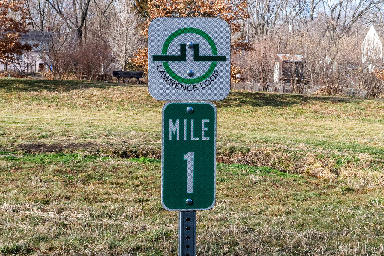
Get Out There: Lawrence Loop, Segment 2
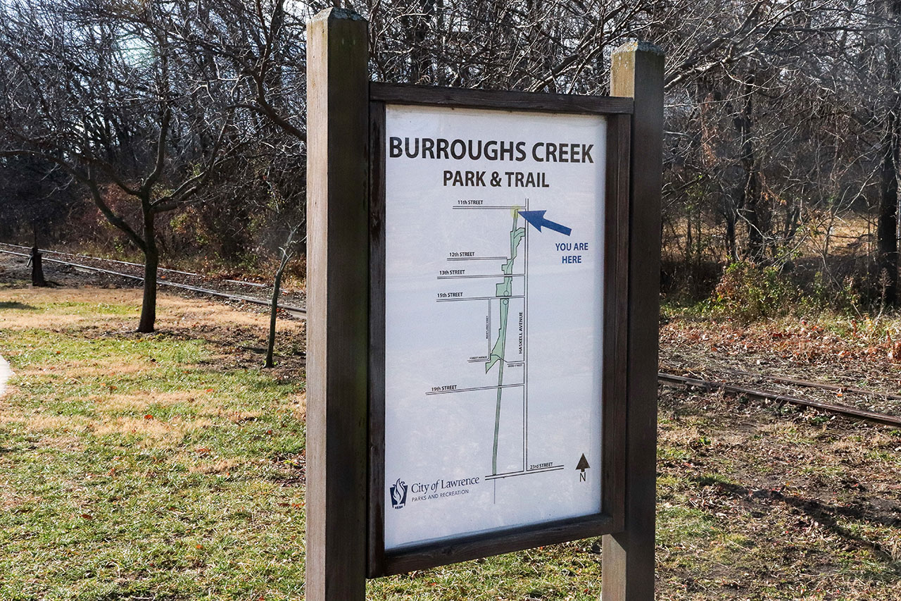
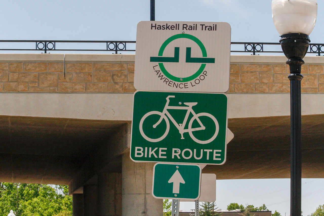
The Burroughs Creek Trail and The Haskell Rail Trail
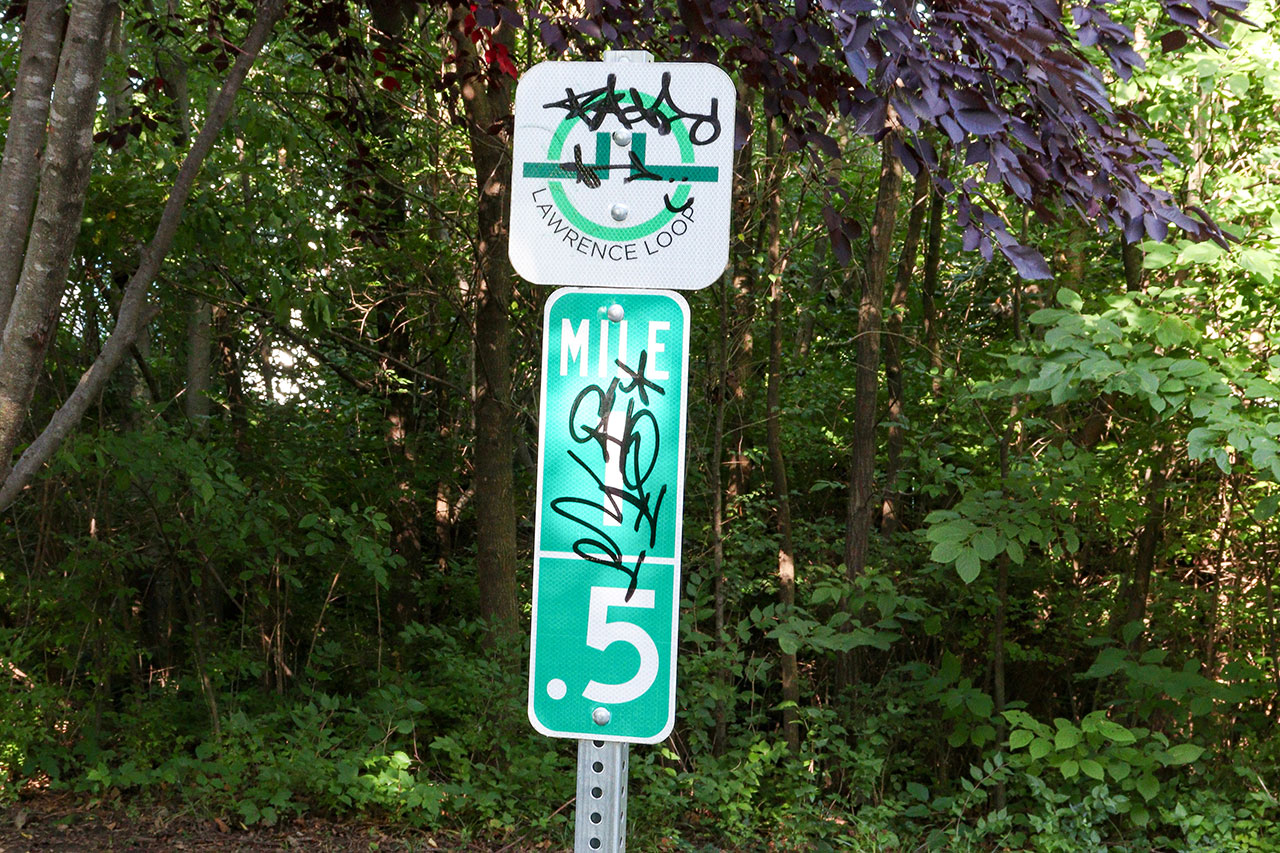
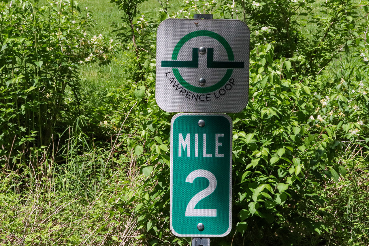
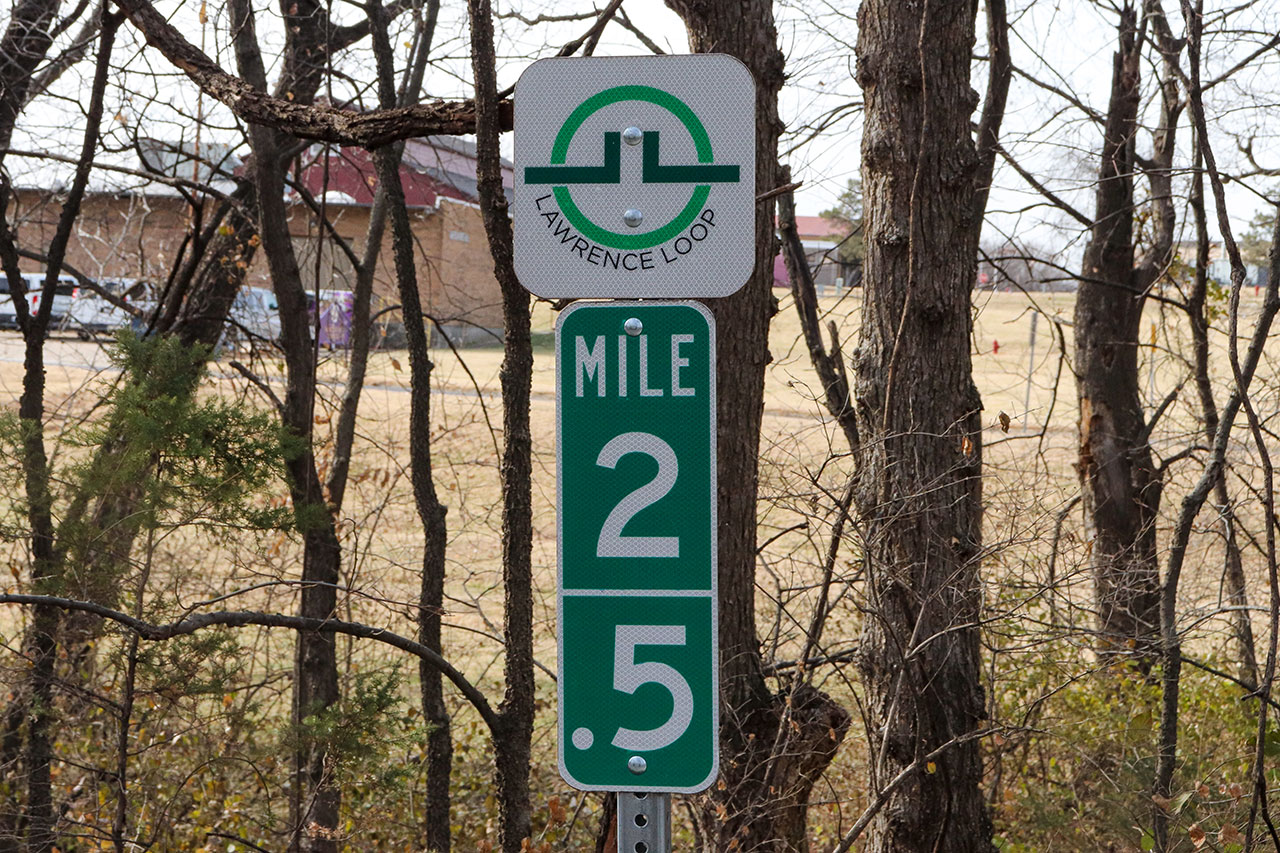
Length: 1.75 miles, one way
Parking: Hobbs Park to the north, Burroughs Creek Park on 15th Street, Below and North of the 23rd Street Bridge
Restrooms: Burroughs Creek Park (seasonal)
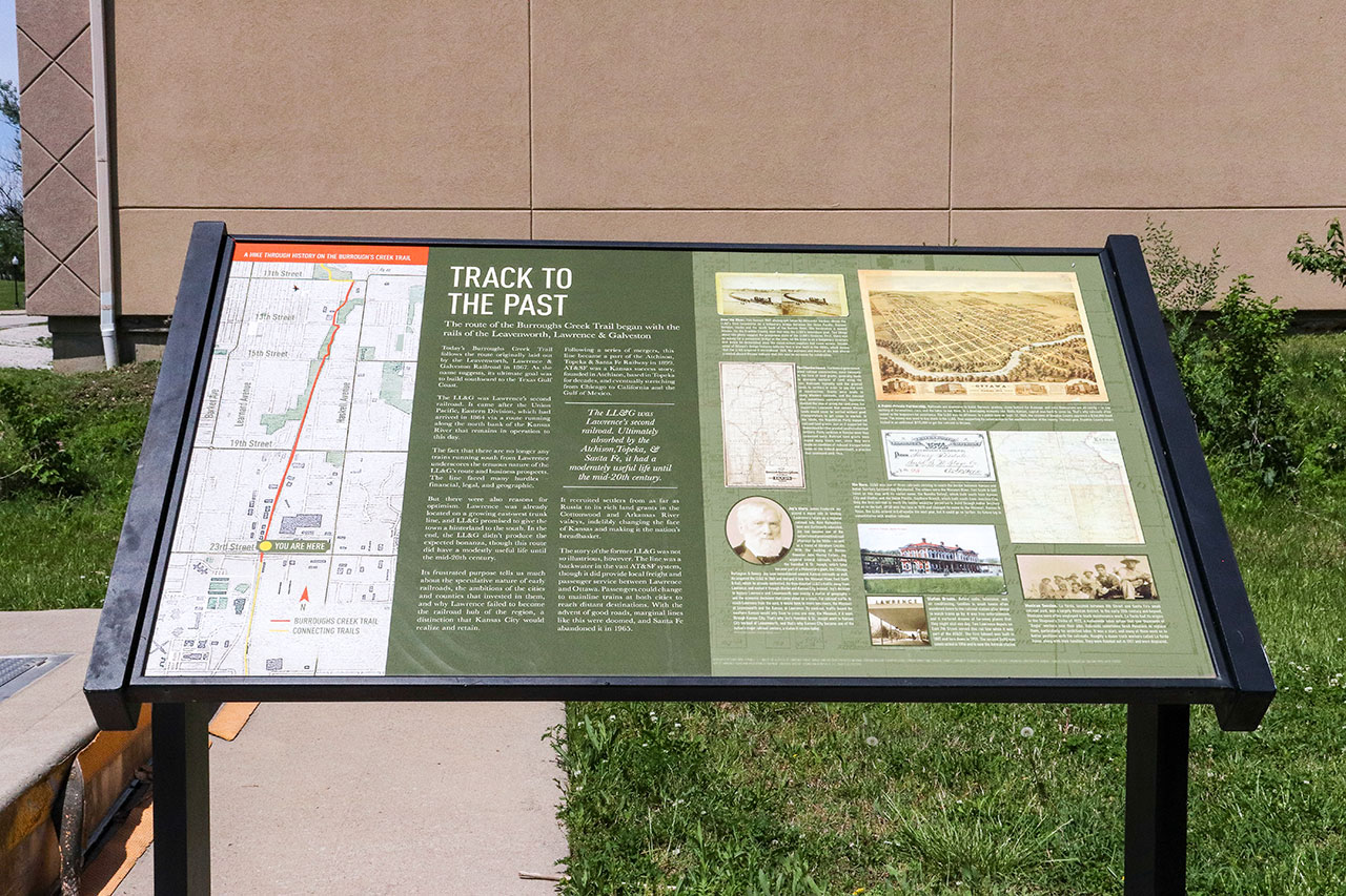
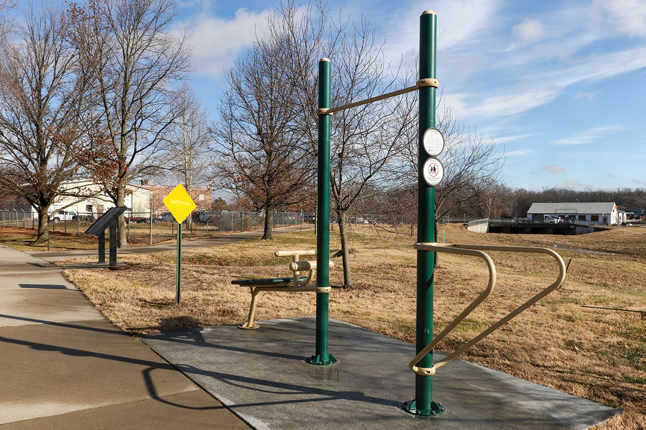
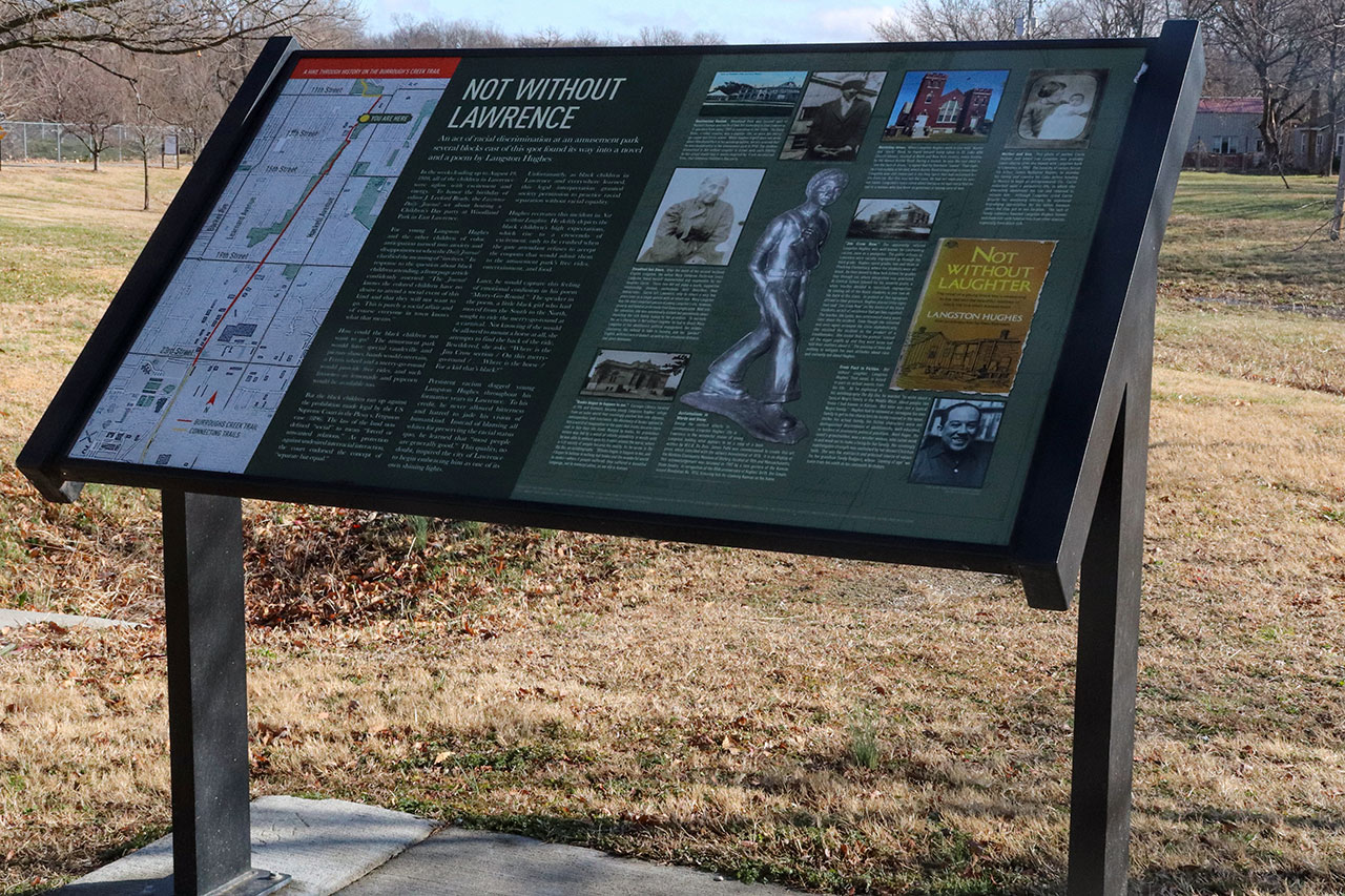
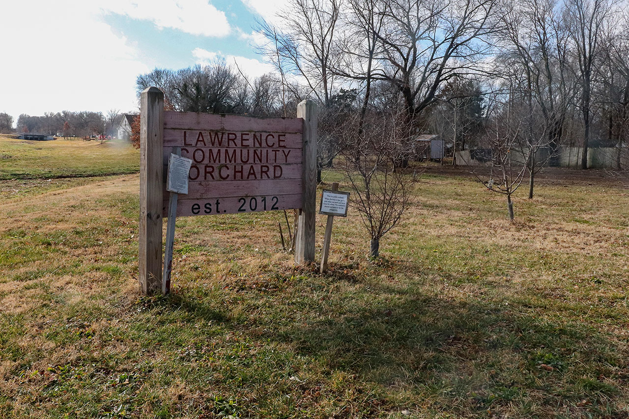
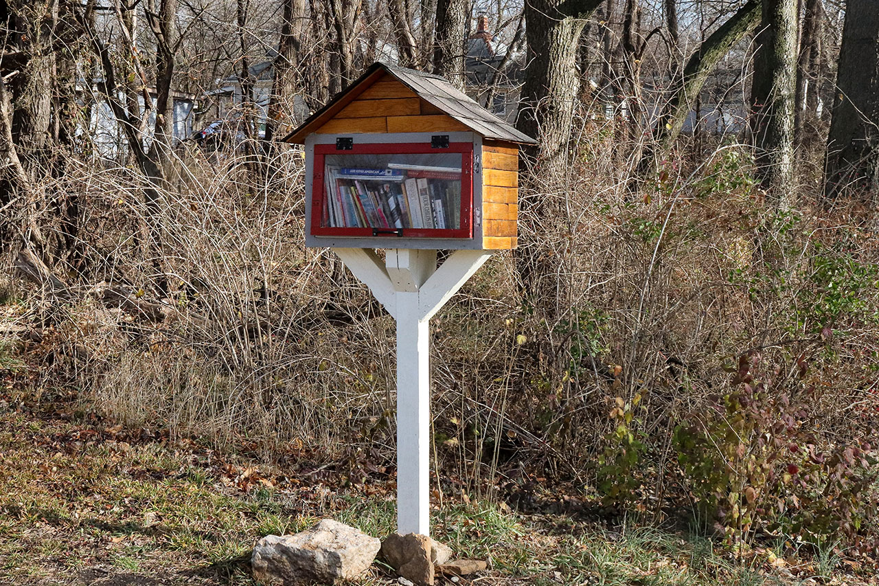
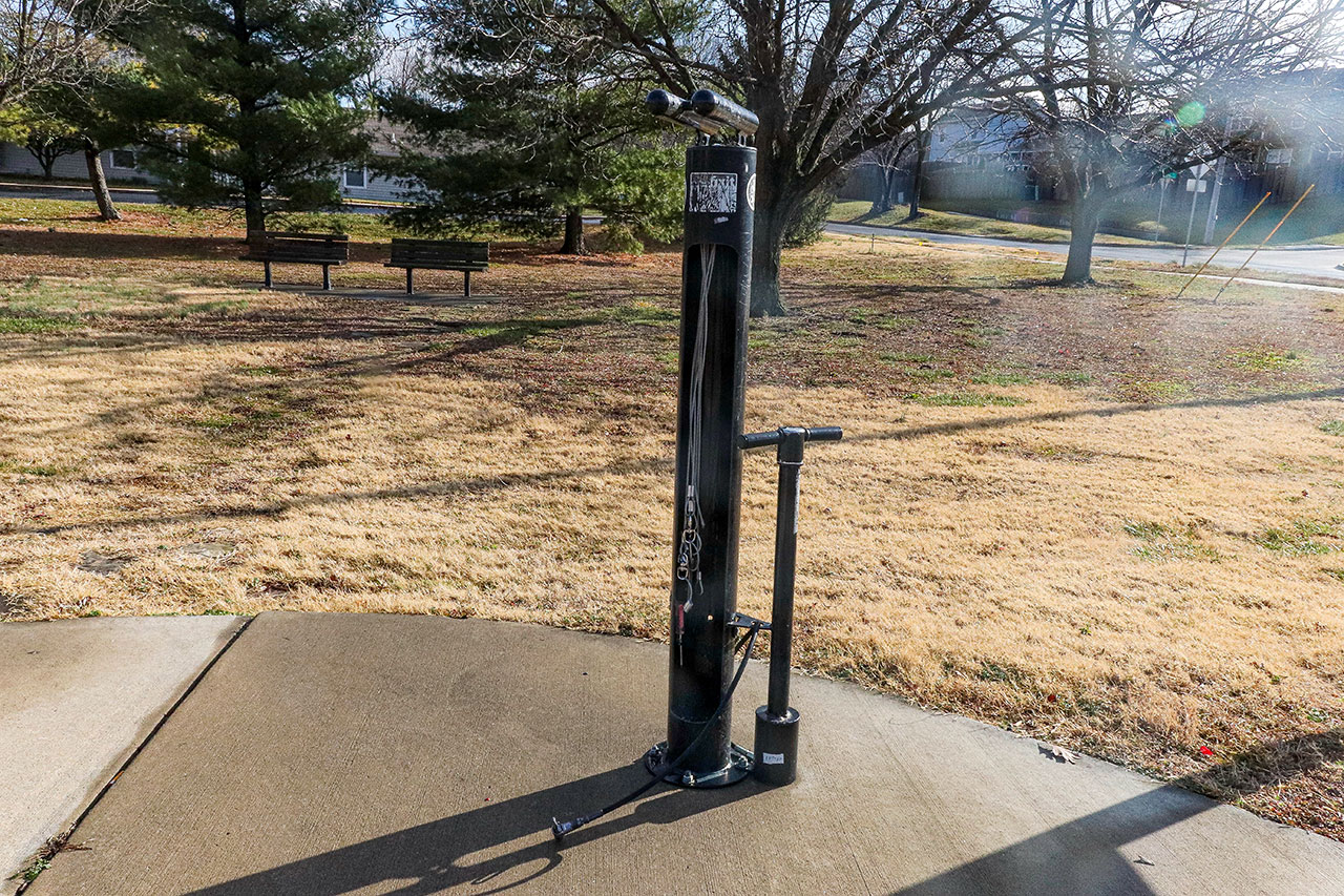
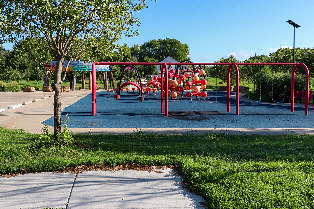
Features of Note: Hike Through History historic panels, Exercise stations, Little Lending Library, Lawrence Community Orchard, Playground, Slash Park, Haskell Cemetery
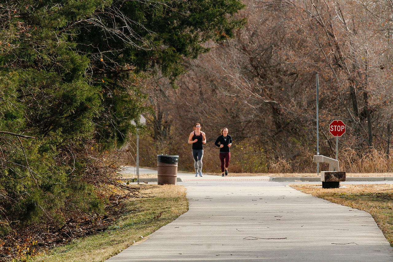
The Burroughs Creek and Haskell Rail Trails run from 11th Street through Burroughs Creek Park, then along the eastern edge of Haskell Indian Nations University to 29th Street.
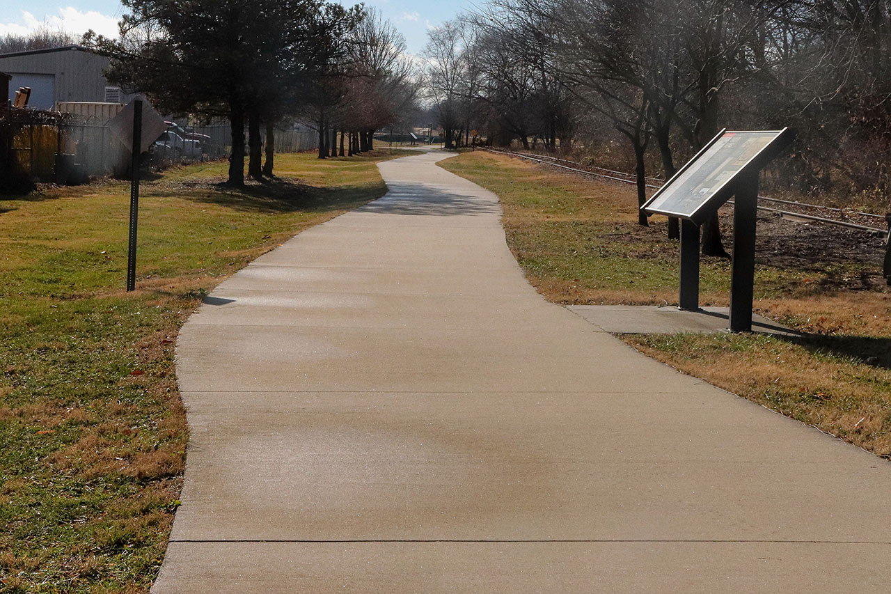
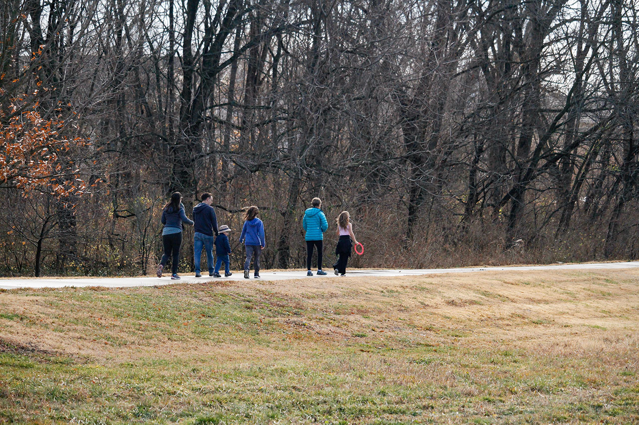
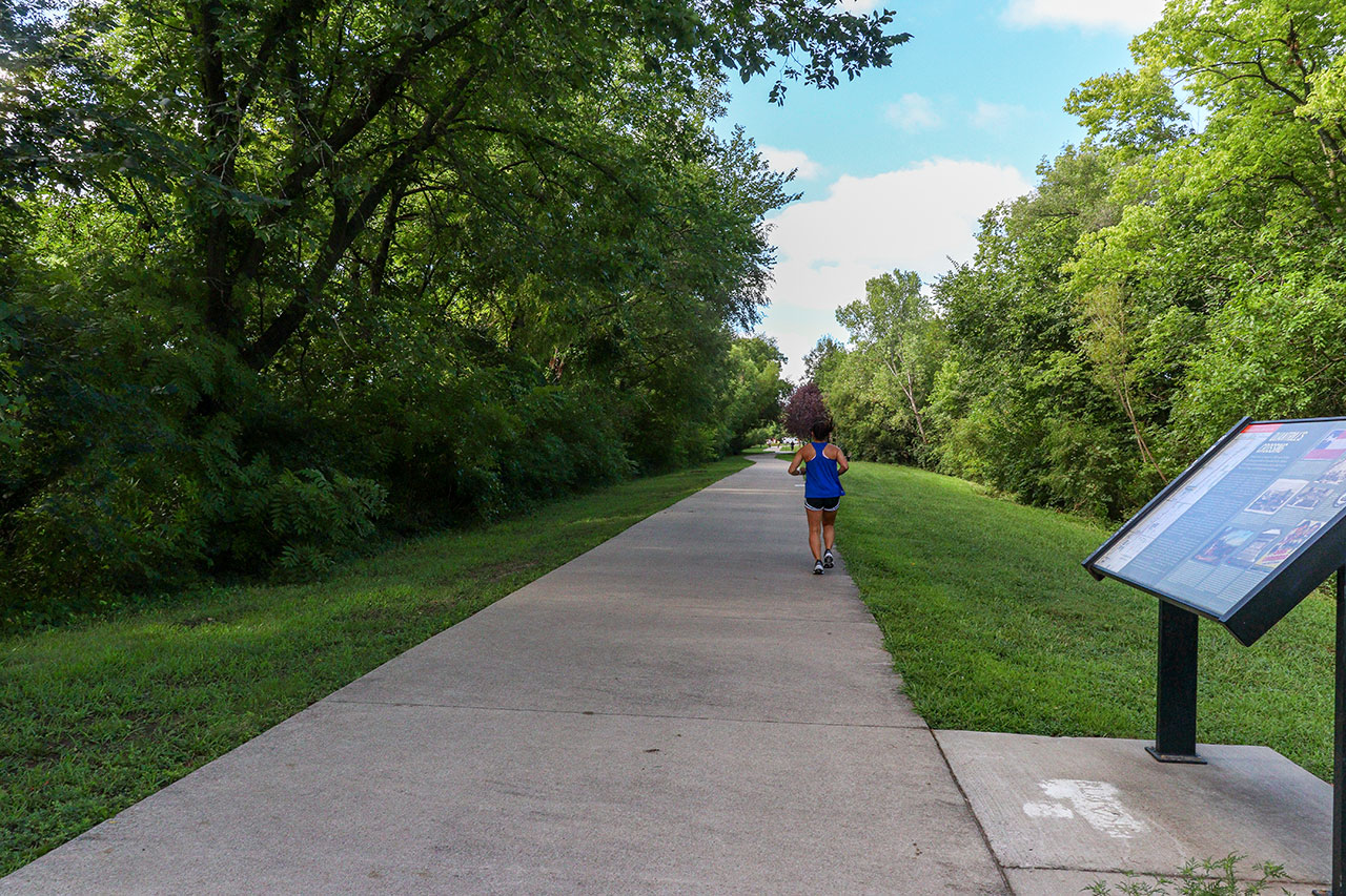
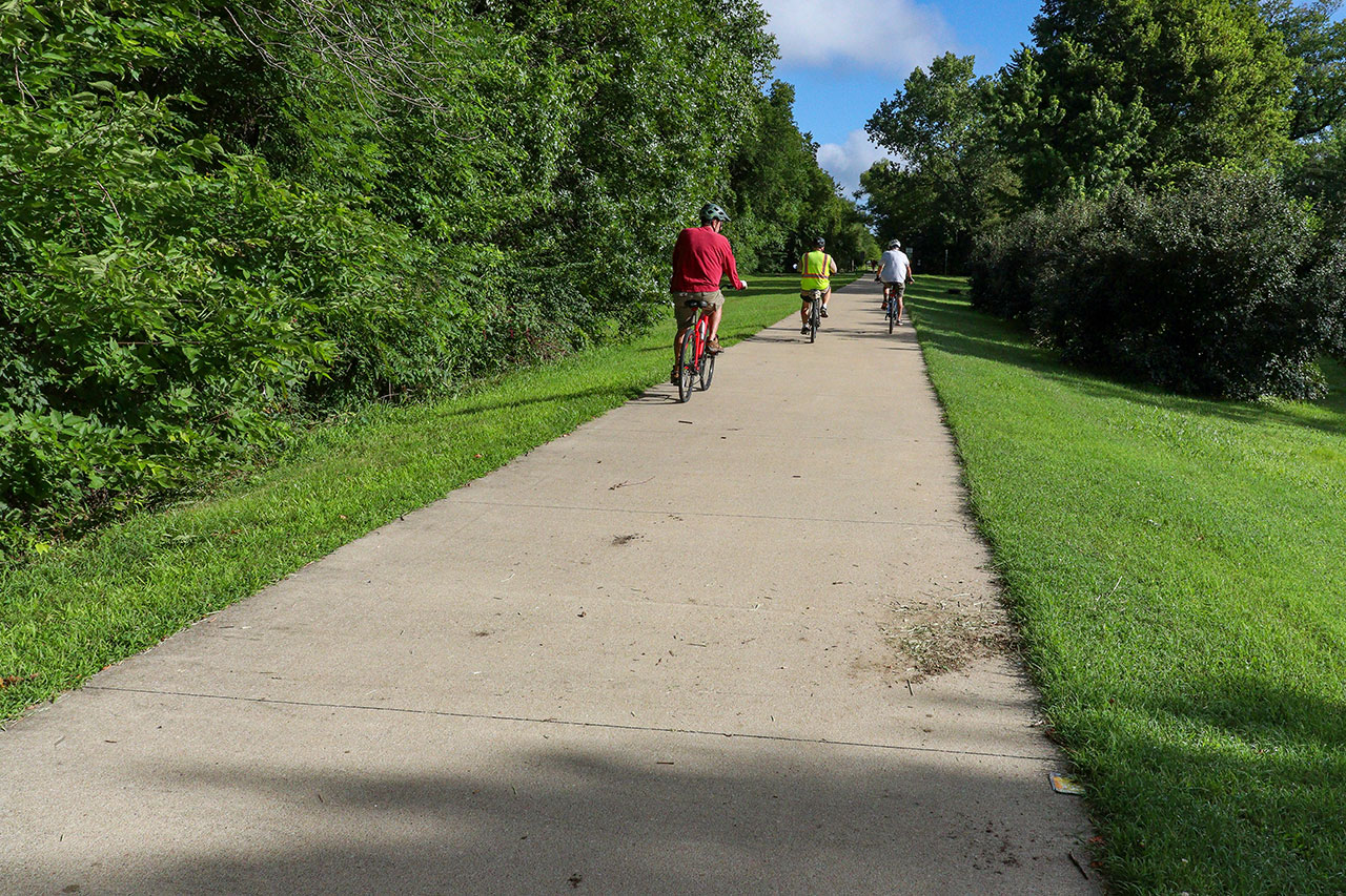
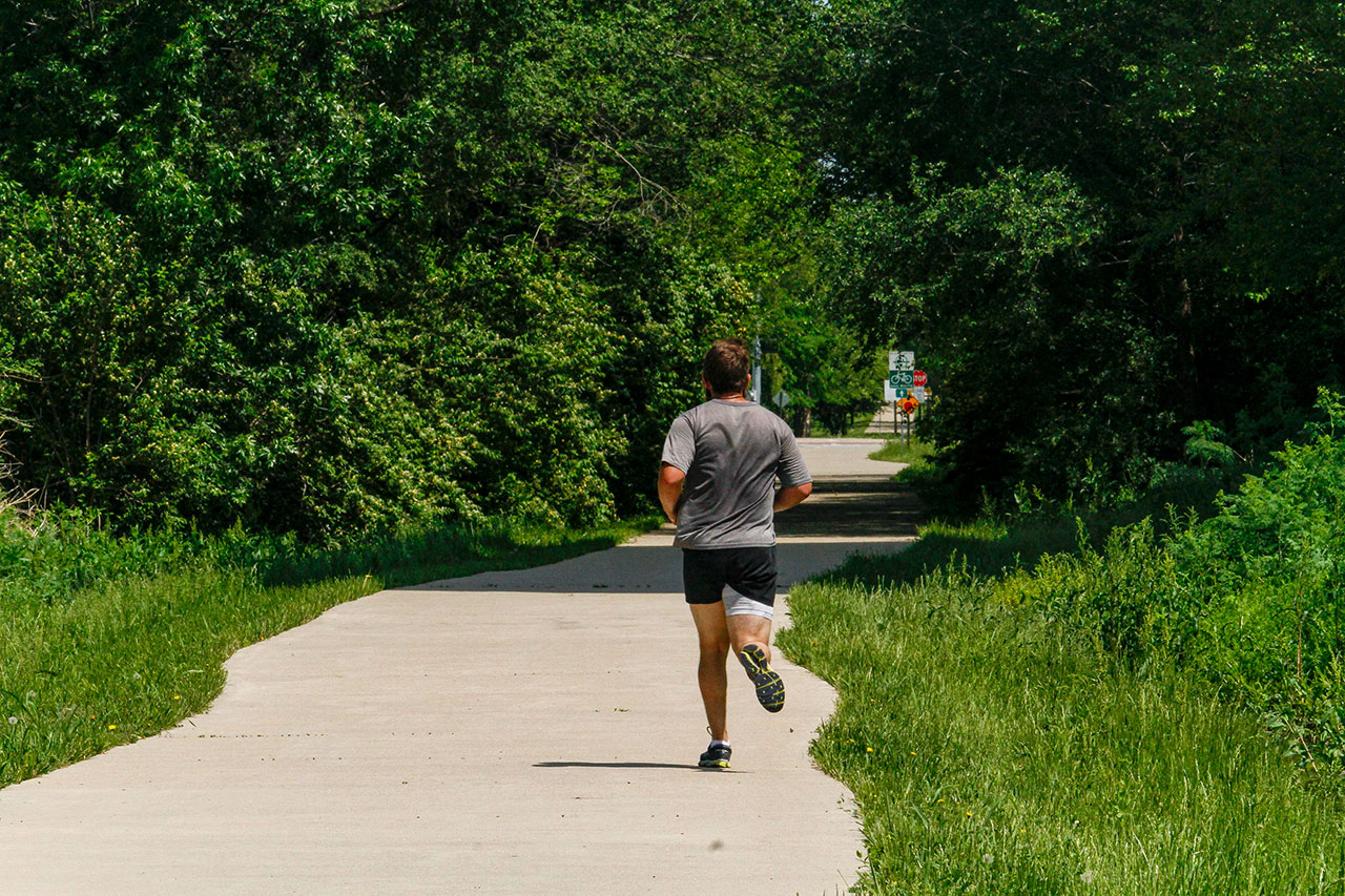
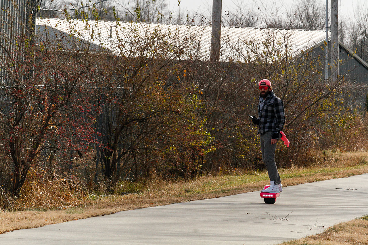
The Burroughs Creek Trail portion is a rail-trail that extends from Hobbs Park to the 23rd Street bridge. Many amenities for recreation, resting, water, and body-weight exercise machines exist along this segment. As a historic railroad route, it is completely flat for the full length and, excluding a few road crossings, and is perfect for users with limited mobility.
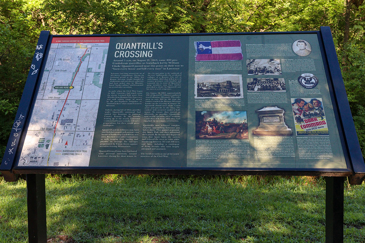
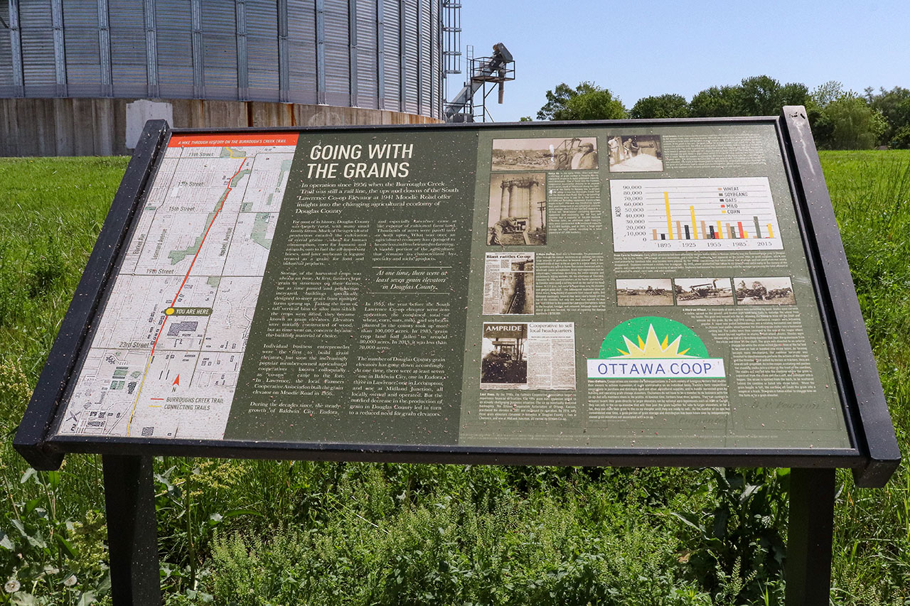
The Burroughs Creek section may be one of the more picturesque portions of the Loop. It is largely wooded and features a series of panels, called the Hike Through History that share Lawrence’s unique history and cultural identity.
The Haskell Rail Trail segment beginnings just under the 23rd Street bridge. It is a forested, flat route that runs along the edge of Haskell Indian Nations University, past the historic Haskell Cemetery and extends to 29th Street. It avoids a large number of street crossings.