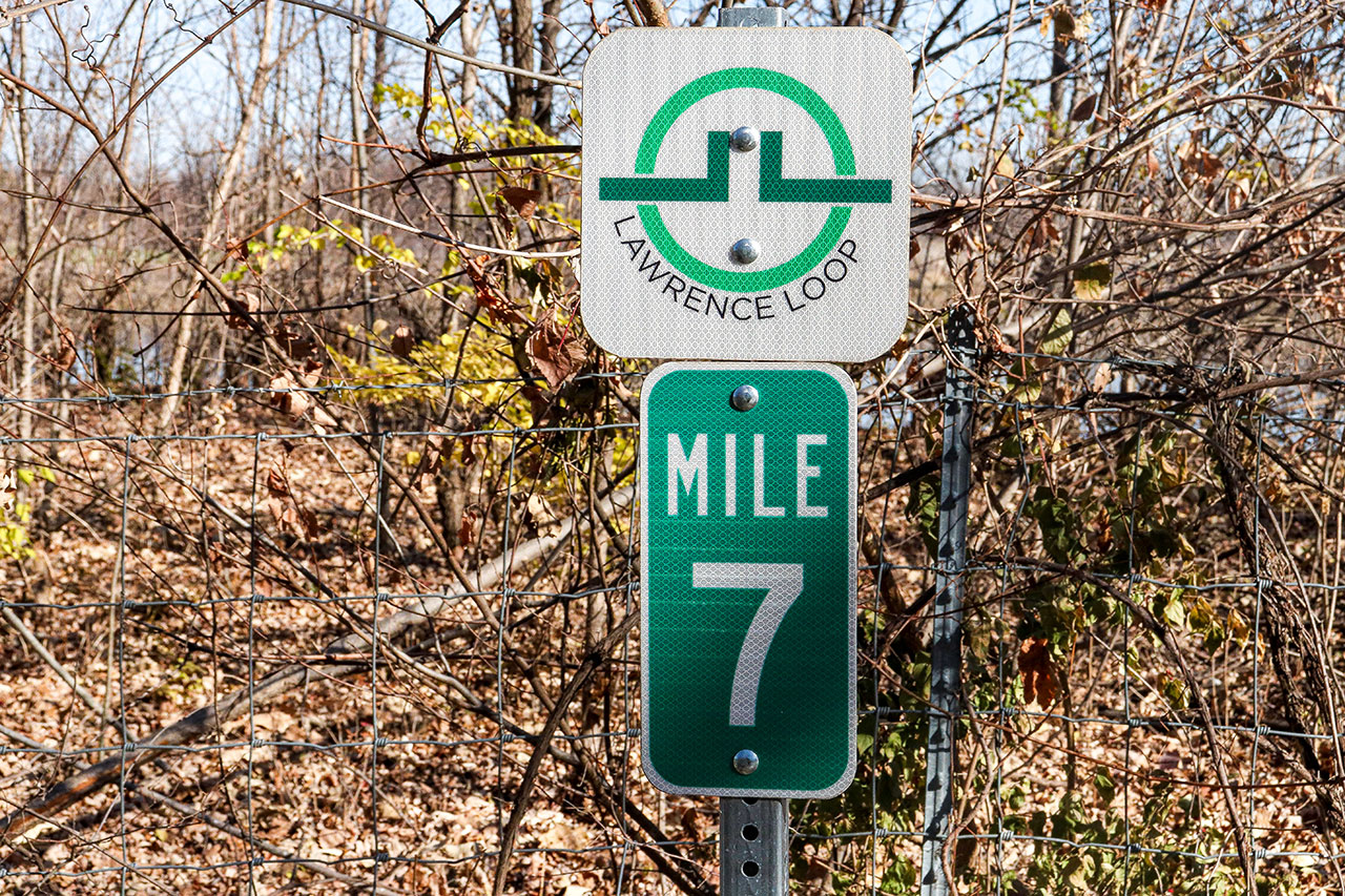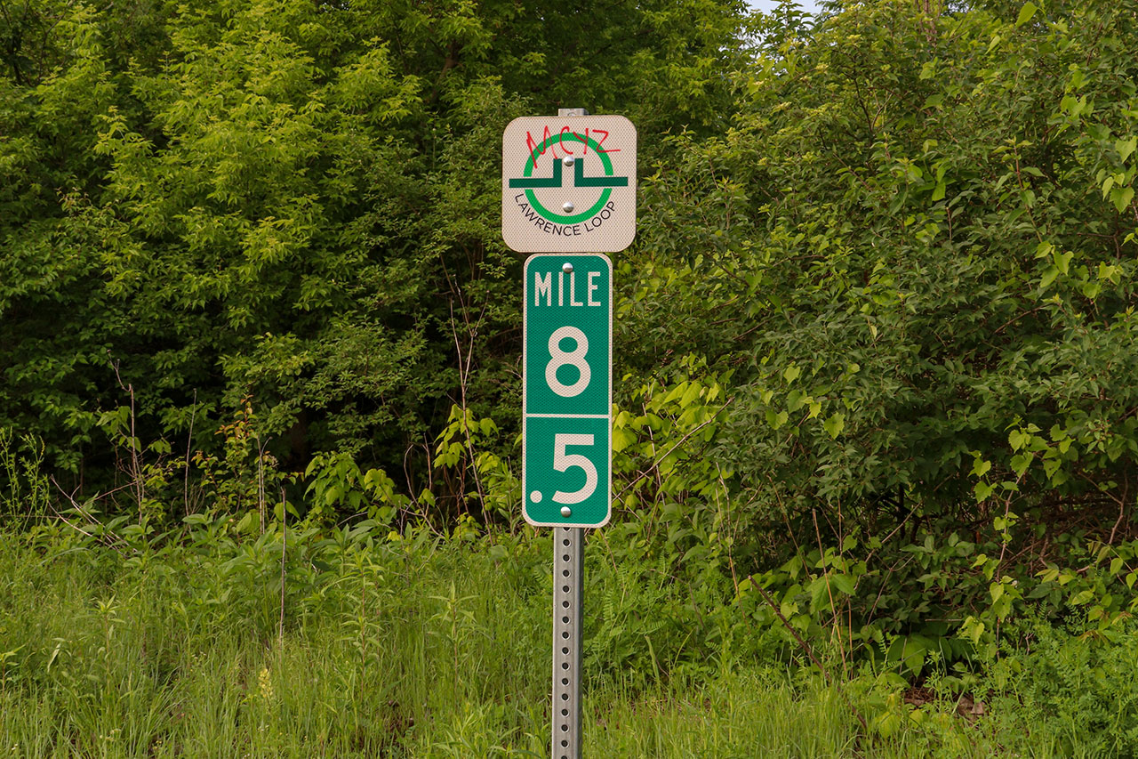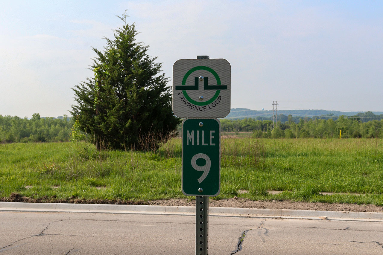
Get Out There: Lawrence Loop: Segment 5
South Lawrence Trafficway Iowa street to the Lawrence Arboretum
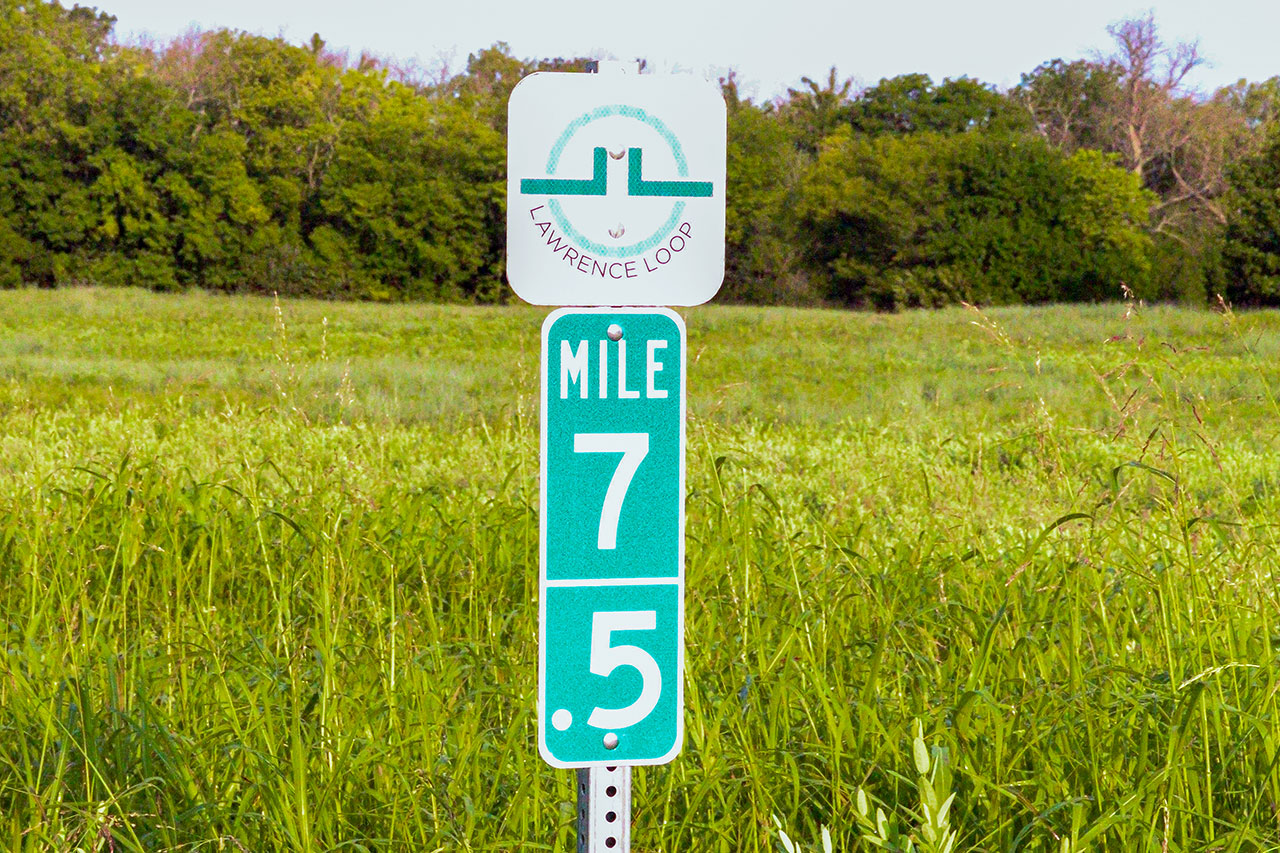
Length: 4 miles
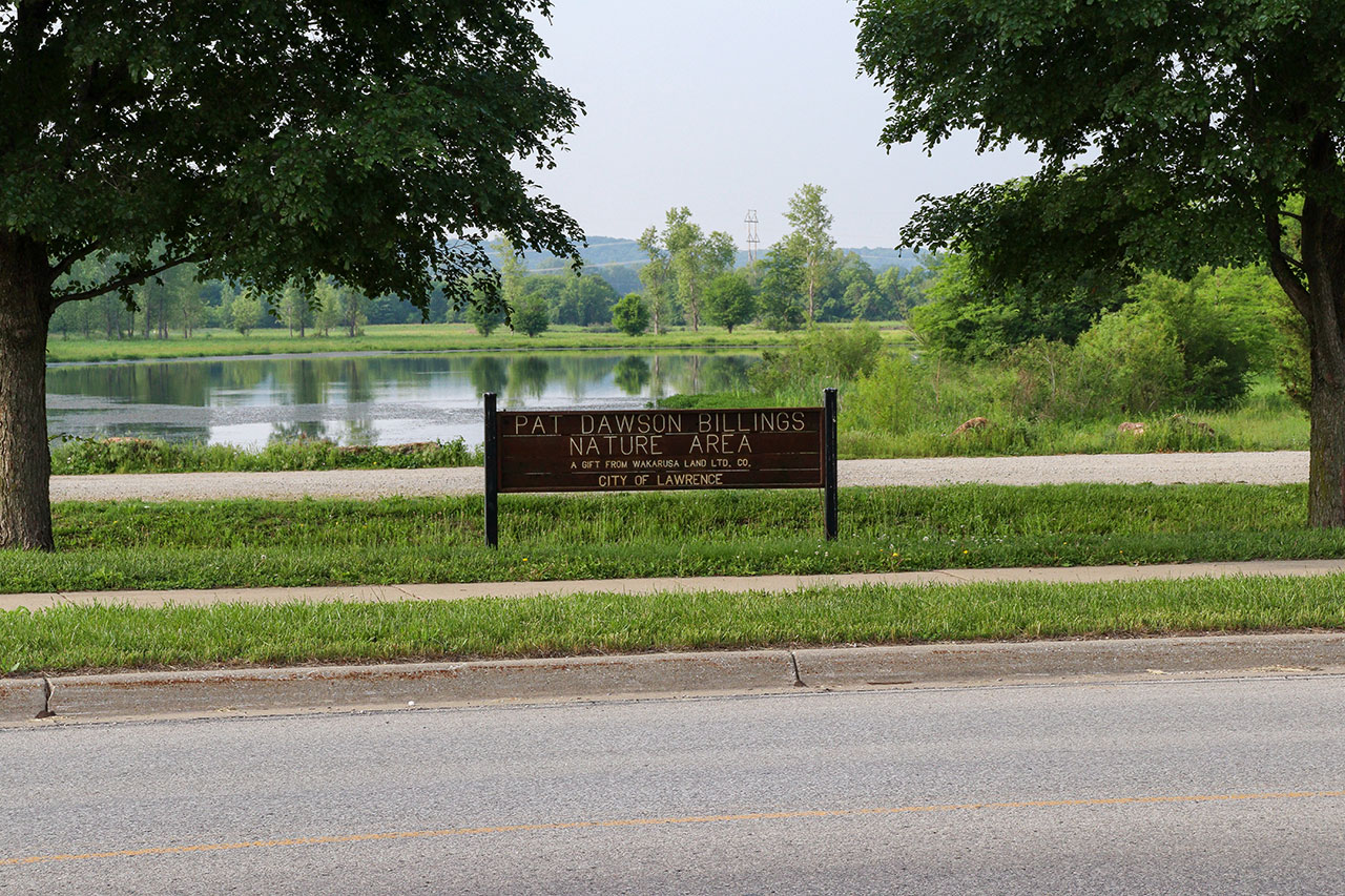
Parking: Southwind Theater, Pat Dawson Billings Nature Area
Restrooms: None
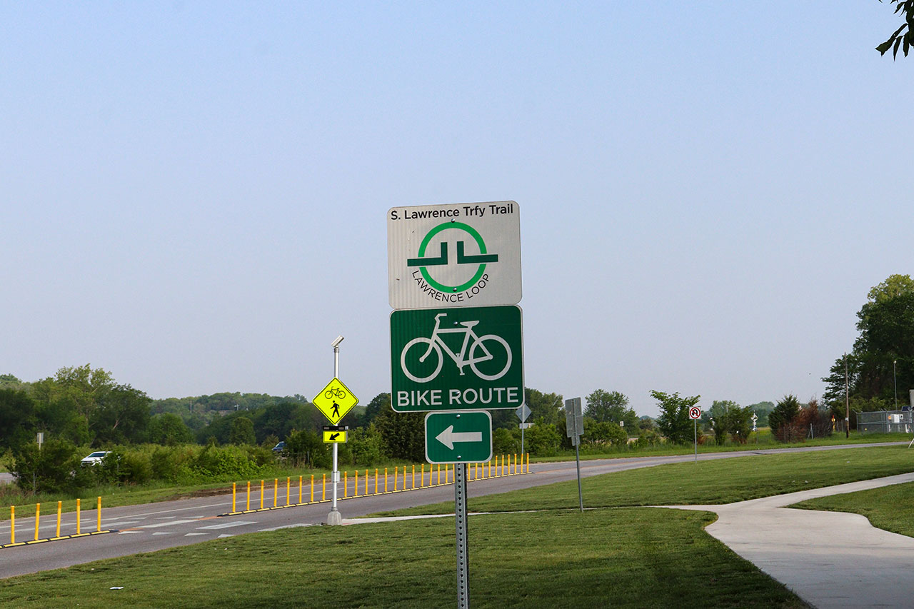
The South Lawrence Trafficway Iowa street to Arboretum segment of the Lawrence Loop runs along Yankee Tank Creek to 1200 Rd. It then heads North along Kasold Dr before heading west to the K-10 intersection.
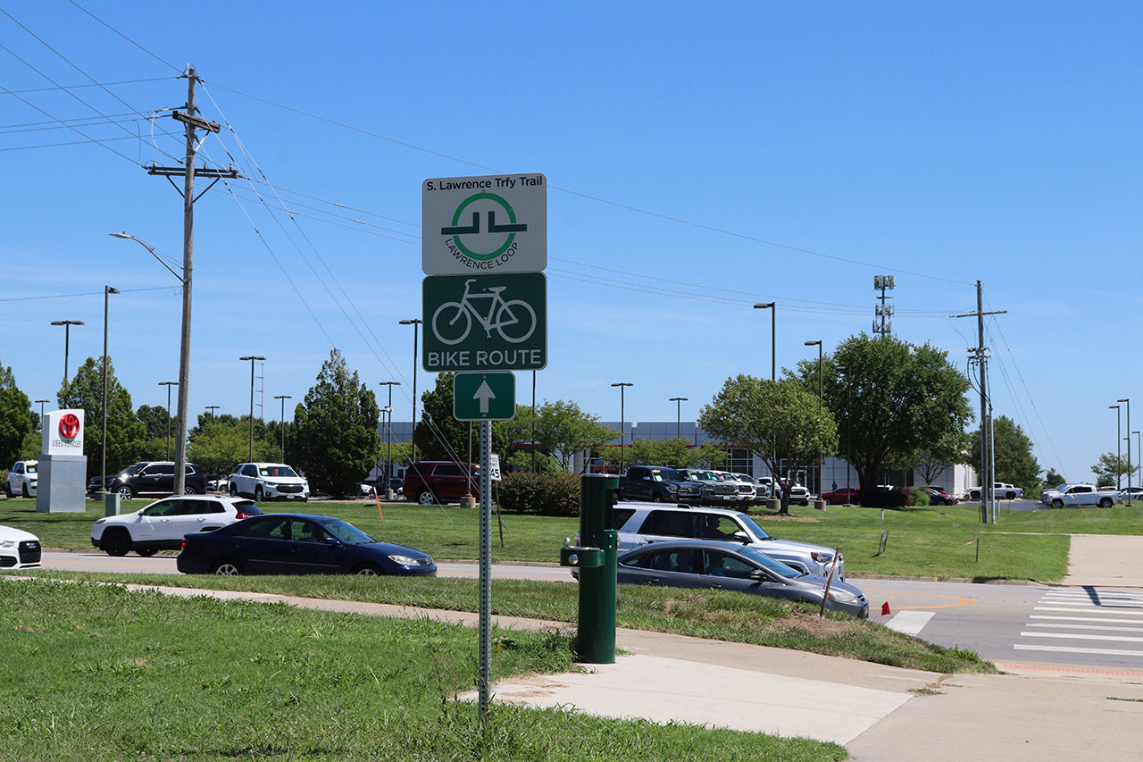
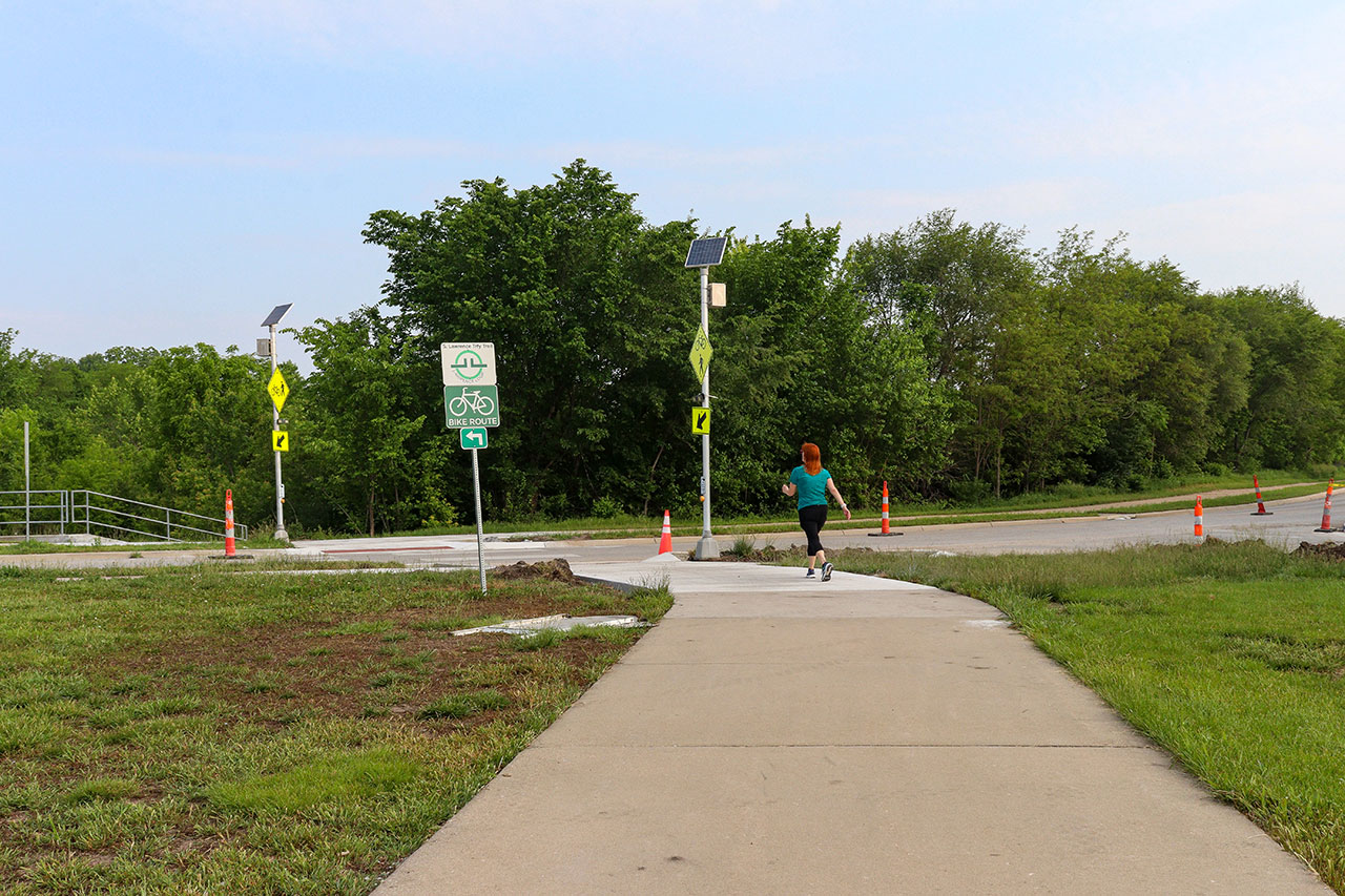
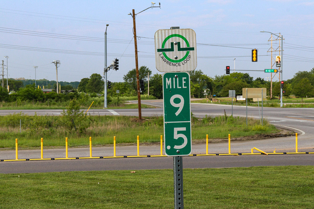
To cross Iowa Street a pedestrian button-activated crosswalk can be used, but users should be aware of traffic from K-10 and Highway 56.
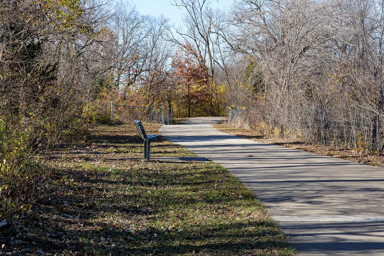
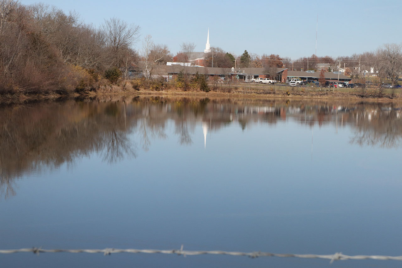
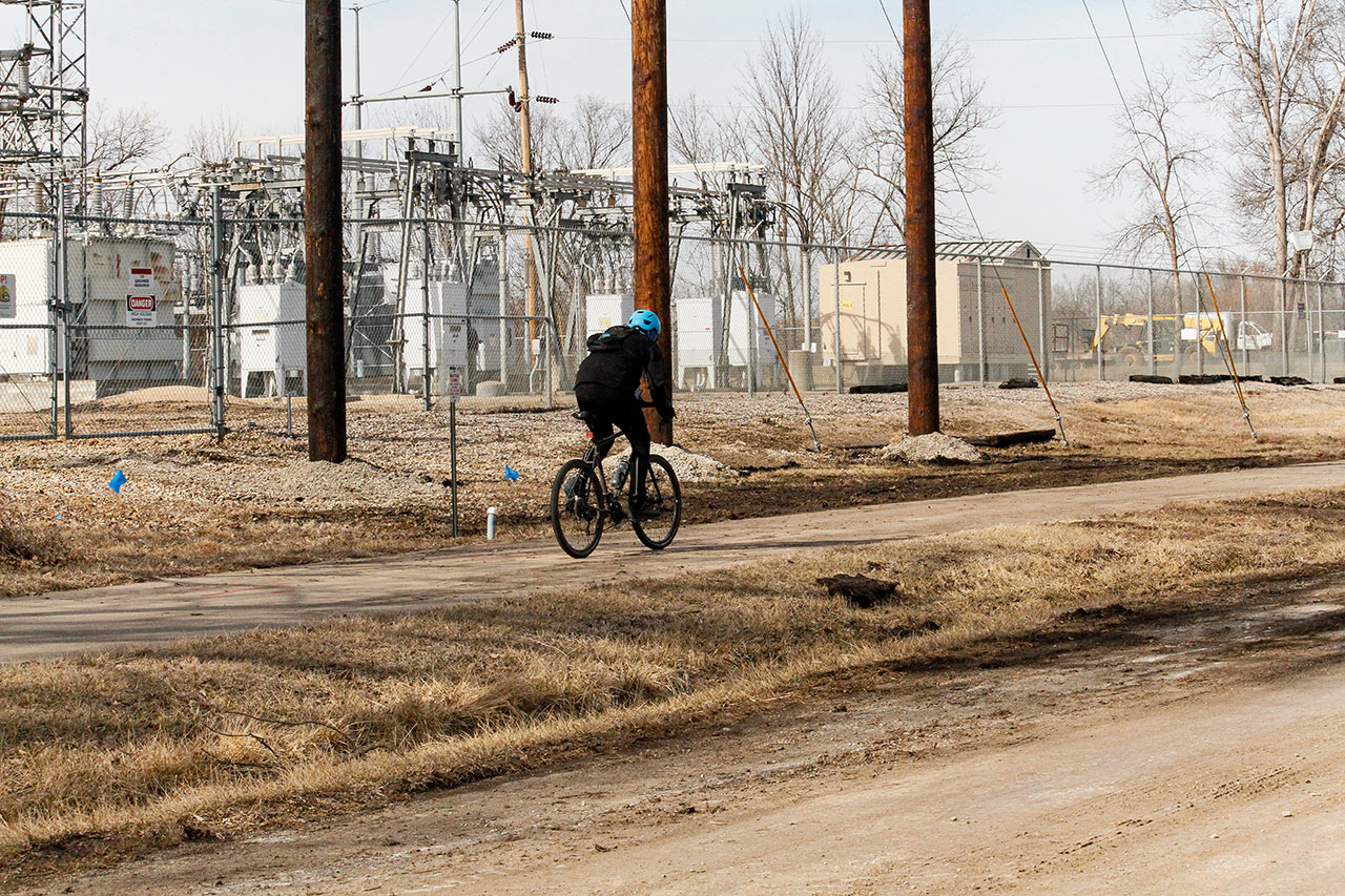
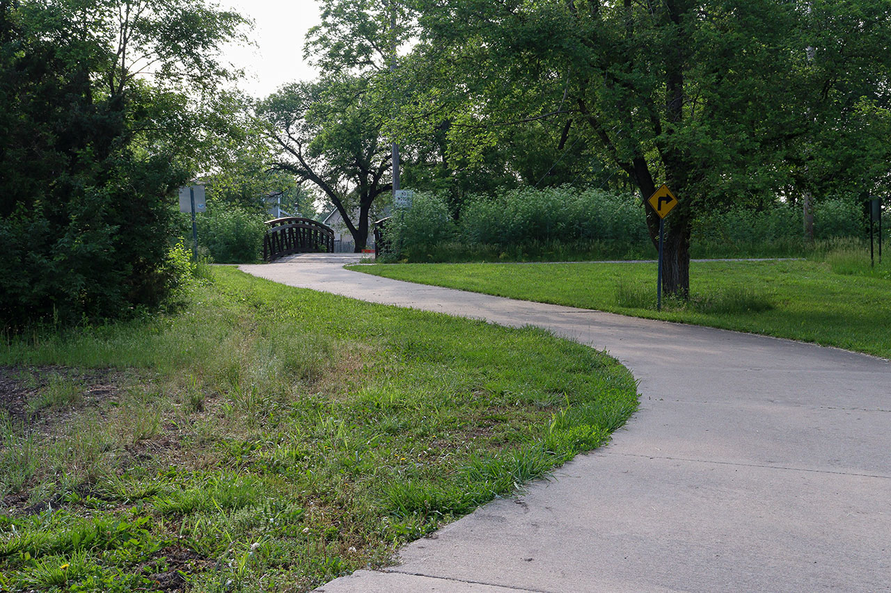
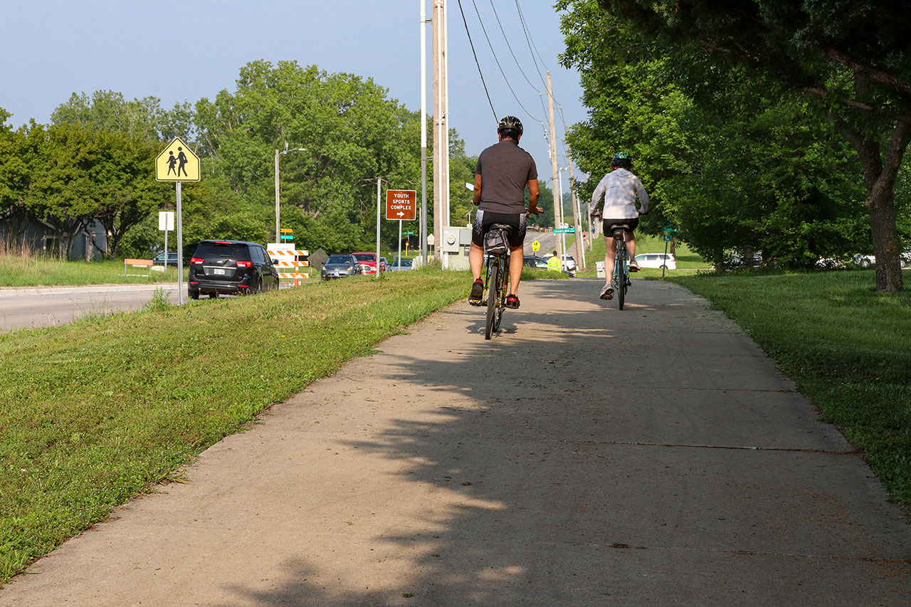
Passing beyond the highway, the trail enters a secluded forest-land. The Loop meanders along Yankee Tank Creek before crossing the end of E 1200 Rd.
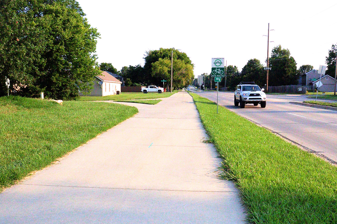
The Loop then heads North along Kasold Drive before heading west between Winterbrook Drive and Aldrich Street.
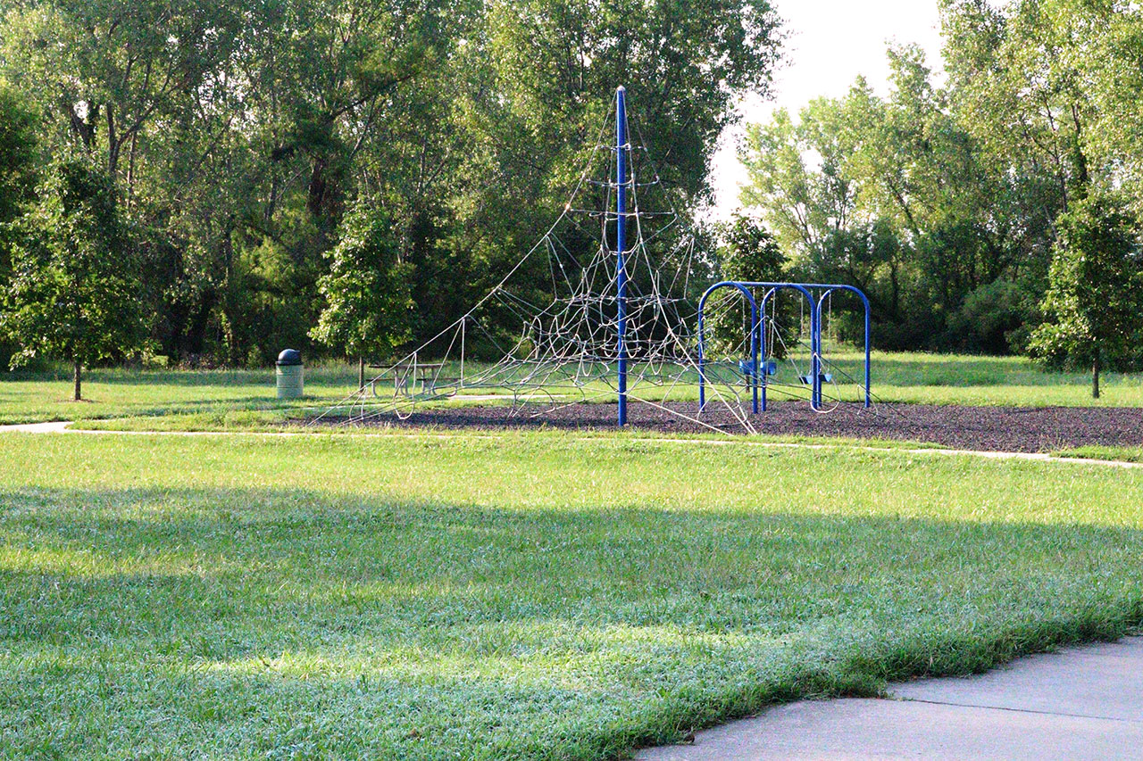
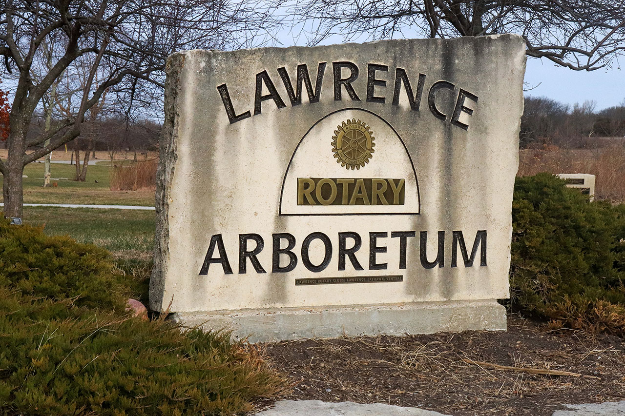
The trail passes through Green Meadows Park, crosses a small bridge to Pat Dawson Billings Natural Area. From there the Loop crosses over 27th Street and continues to the K-10 intersection to the Areboretum.
Users are strongly encouraged to use the pedestrian crosswalk lights to cross K-10 to the Arboretum.