Get Out There: Lawrence Area Trail Guides
Lawrence Loop: Segment 1
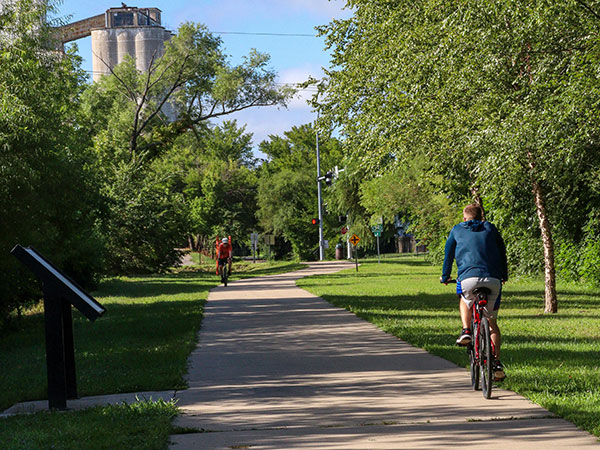
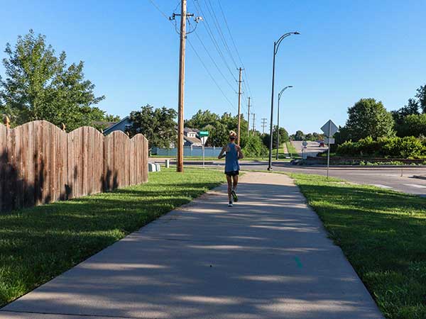
The Lawrence Loop begins at 8th and Delaware across the street from the Poehler Lofts near the railroad tracks. Going south the trail passes through the Warehouse District, up a medium hill into Hobbs Park.
Hobbs Park RouteLawrence Loop, Segment 2
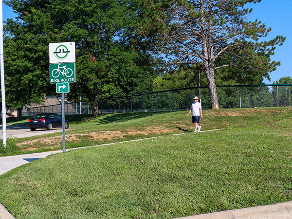
The Burroughs Creek and Haskell Rail Trails run from 11th Street through Burroughs Park to 29th Street and runs along the eastern edge of Haskell Indian Nations University.
Burroughs Creek and Haskell TrailsLawrence Loop, Segment 3
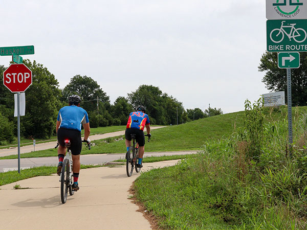
This short segment connects the Haskell Rail Trail to the Baker Wetlands section of the Lawrence Loop. It is connective in nature and is a useful connection between Haskell Rail Trail and Baker Wetlands.
Haskell Avenue ConnectionLawrence Loop, Segment 4
This segment passes along the Baker Wetlands and K-10 to Iowa Street. Exercise caution when crossing Iowa.
Haskell to IowaLawrence Loop, Segment 5
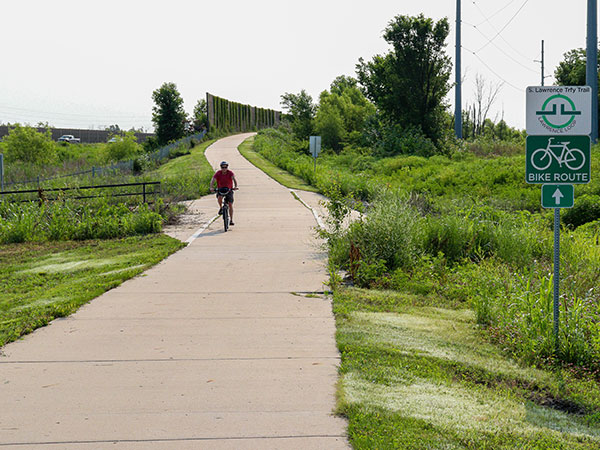
The South Lawrence Trafficway Iowa street to Arboretum segment of the Lawrence Loop runs along Yankee Tank Creek to 1200 Rd. It then heads North along Kasold Dr before heading west to the K-10 intersection
Iowa Street to the ArboretumLawrence Loop, Segment 6
The trail goes west to Clinton Lake through a meadow. The trail turns north and crosses Clinton Parkway. Shortly after passing under K-10, the trail takes a left turn and heads north towards Rock Chalk Park.
Arboretum to Rock Chalk ParkLawrence Loop, Segment 7
This section of the trail goes through a pretty valley with trees, fields, and cliffs by the creek. The trail descends into the valley and then levels out.
Rock Chalk Park and Baldwin CreekLawrence Loop, Segment 8
This segment of the Loop goes from North Kasold St then continues along Peterson Road to Peterson Park. The trail goes through the Park, across North Iowa, and passes through a tunnel under the Turnpike to North Michigan St.
North Kasold to Michigan StLawrence Loop, Segment 9
This segment of the Lawrence Loop is a scenic path that starts at Sandra Shaw Community Health Park. It passes by the KU Rowing Boathouse, and passes through Burcham Park, ending at Constant Park near downtown.
Sandra Shaw Park to Burcham ParkClinton South Shore Trails
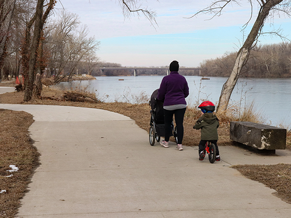
Clinton Lake’s lesser-known cousin to the north shore Trails, the south shore trails provide miles of trail options with little to no traffic.
South Shore TrailsEarly Morning at the Baker Wetlands
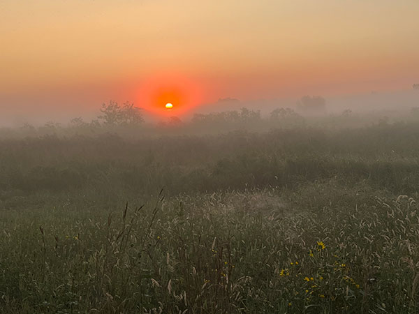
The sunrises are gorgeous with all shades of pink and red filling the Eastern sky. A 10-minute walk to the end of the boardwalk, which raises you a few feet above the paths and the marshes, is a perfect place to watch the sunrise (or the birds).
Baker Wetlands TrailsClinton North Shore Trails
There are a number of trail options on the north shore of Clinton Lake. The North Shore Trails run along the north shore of the lake from the Overlook Park through Clinton State Park.
North Shore TrailsGeorge Latham Hiking Trail
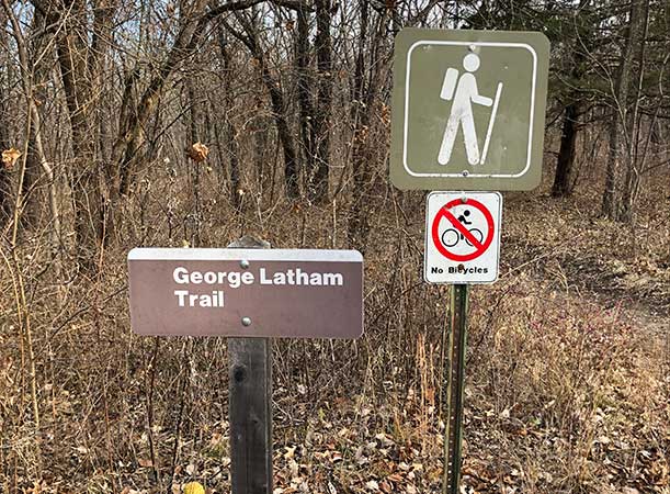
The George Latham trail is a 4.2 loop trail on the west side of Clinton Lake. The trail provides great views of the lake and a chance to view Bald Eagles during certain times of the year.
Latham Hiking TrailLawrence Nature Park
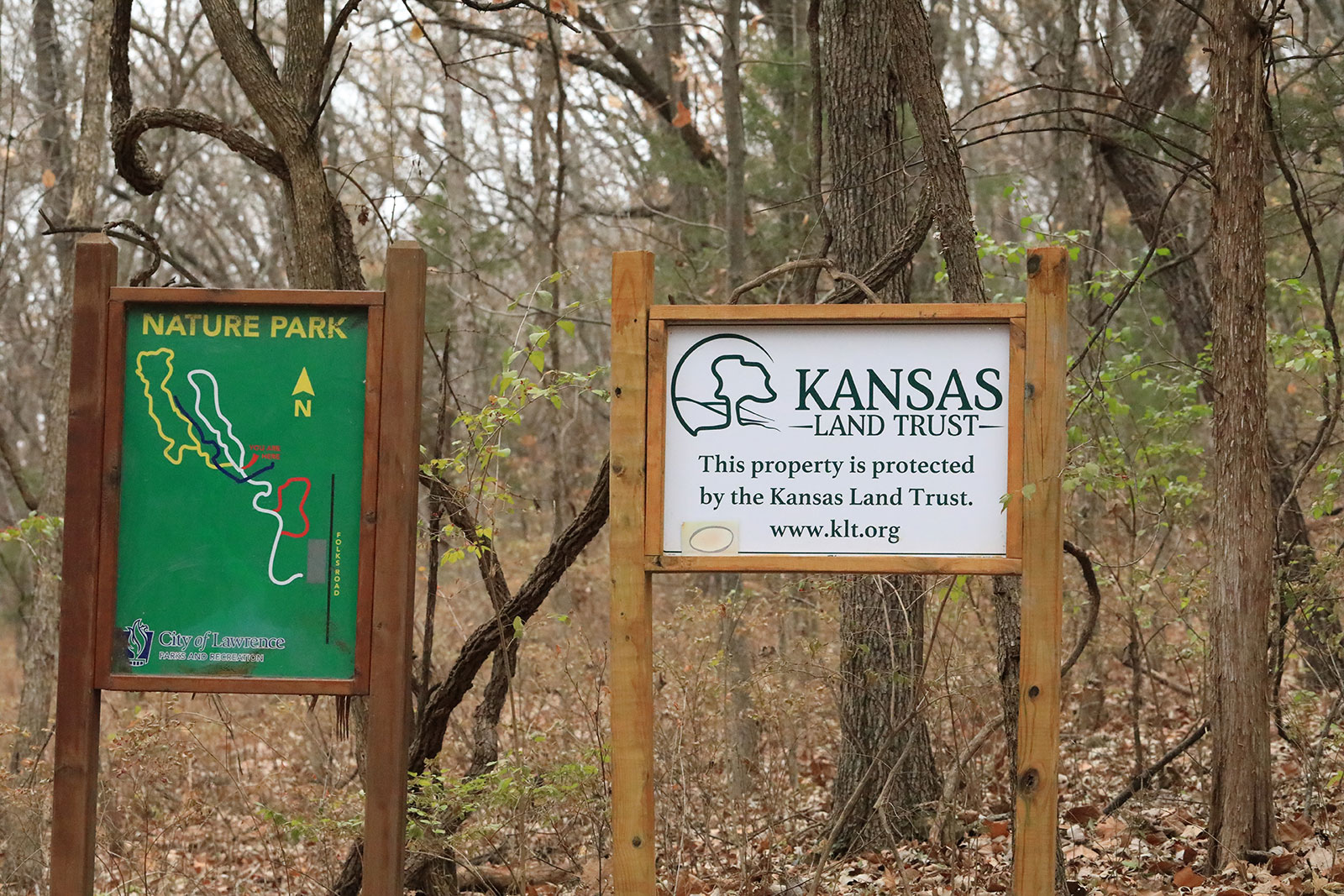
If you are looking for a quiet nature walk close to home, check out the secluded 100-acre Lawrence Nature Park. It’s located on S. Folks Road between 6th Street and Peterson Road. The park, which is managed by the City of Lawrence Parks and Recreation Department, includes a 37-acre oak-hickory woodland, and a savanna on top of a limestone ridge.
Lawrence Nature ParkDeVictor Park Trails
Devictor Park is a 40 acre green-belt park that features a 2.62 mile loop trail. 2.2 miles is a paved trail and 0.4 miles is a rustic nature trail.
DeVictor ParkKU Field Station
Gorgeous trails and views await you at the KU Field Station, located just 6 miles north of Lawrence. It features 5 miles of public nature trails and is open daily dawn to dusk. You’ll want to pack water and snacks because there is a lot to explore.
KU Field StationConrad & Viola McGrew Nature Preserve
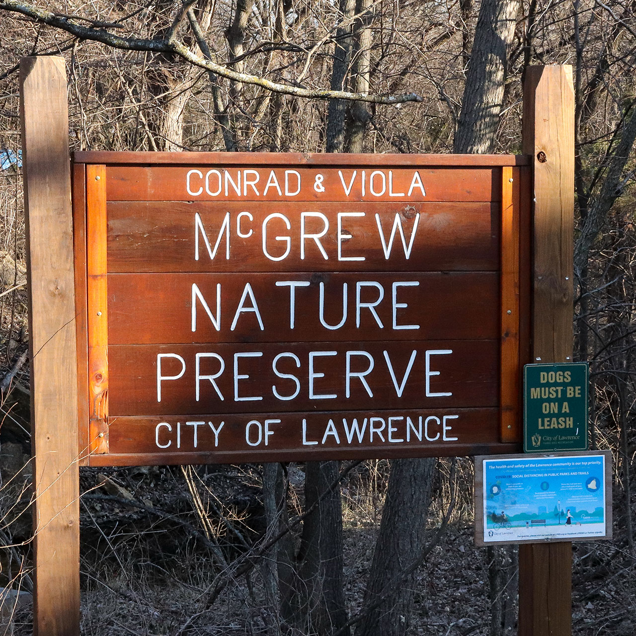
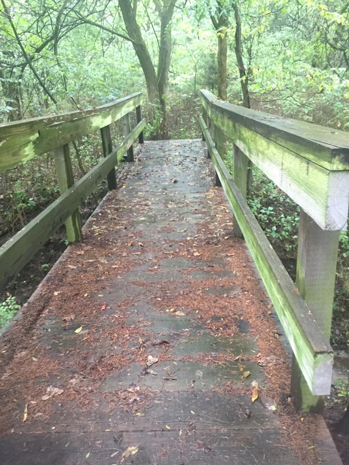
The Conrad & Viola McGrew Nature Preserve is a hidden gem within the city limits. The trail features a 0.61 mile long 8-foot-wide concrete path, surrounded by 15 acres of woods. A meandering stream flows beneath four pedestrian bridges on the trail.
McGrew PreserveRock Chalk Park Trails
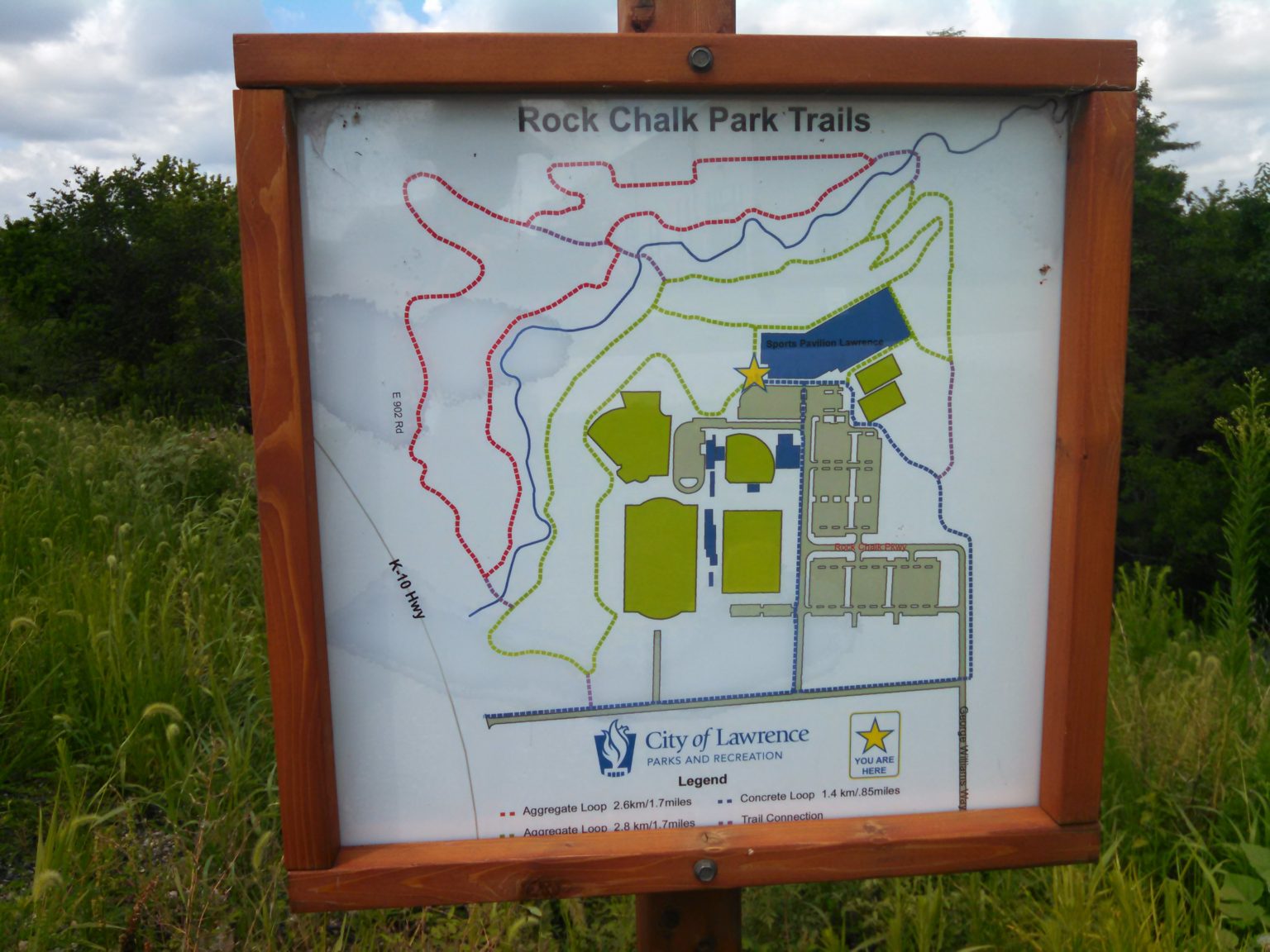
The City of Lawrence maintains more than 4 miles of trails at the Rock Chalk Park complex in West Lawrence. This includes almost a mile of concrete trail and more than 3 miles of gravel (aggregate) trails.
Rock Chalk Park TrailsBlack Jack Battlefield and Nature Park
The Black Jack Battlefield and Nature Park is located on site of the June 2, 1856 Battle of Black Jack. In the battle, the abolitionist John Brown led a Free State militia in a successful attack on a proslavery militia camped at Black Jack Springs, the second campground on the Santa Fe Trail west of Missouri.
Black Jack Battlefield